The head above is part of a directory similar to what you would find in the shopping mall in your hometown, this directory points in all directions around this outcrop to treasures cached all over the area, mines and campsites, the head above points to a mesa 10 miles away. Directions and information can be obtained from sitting in the "bucket seat" provided for viewing the map in correlation with the distant mesa. There is also a set of maps at the ground level, giving different additional information.
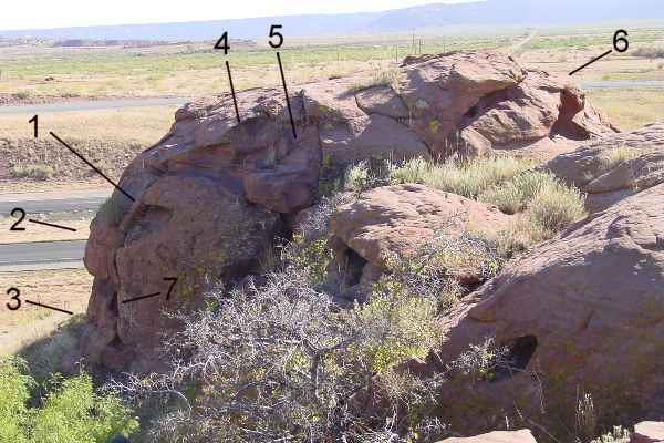
A common misconception is that these types of wonders lie far out of the reach of most people, this simply is not true. As their were no roads at the time, this was one of the most remote locations. That is Interstate 40 in the background, and this outcrop is located at an off-ramp with nothing else around, a good oppertunity for anyone.
In addition to its value as an information directory, it is marked as "cached within" and the tunnel entrances are quit obvious. It should contain several tons of gold and jewels if ever opened. I notified the Governer of the state of New Mexico, so far they have demonstrated no interest. I have to wonder why since New Mexico is a "poor" state and could benifit from the potential 100's of millions of dollars in treasure, historical information and tourist revenue. And this is just one little site, we have located many on the roads of the state, and many, many more on state land. |