|
| |
Useful Links in Earth
Sciences, Geodesy & Positioning
Systems
Collected by:
Faramarz
Nilforoushan
Department of Earth
Sciences, Uppsala University, Uppsala, Sweden,
Updated : 2008-05-25
Useful
Links (Geodesy,
Geodynamics,
Remote sensing, ...)
Satellite
Systems
(Navigation, Positioning, Remote Sensing)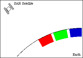
Softwares(
GPS Processing, Mapping, InSAR, ...)

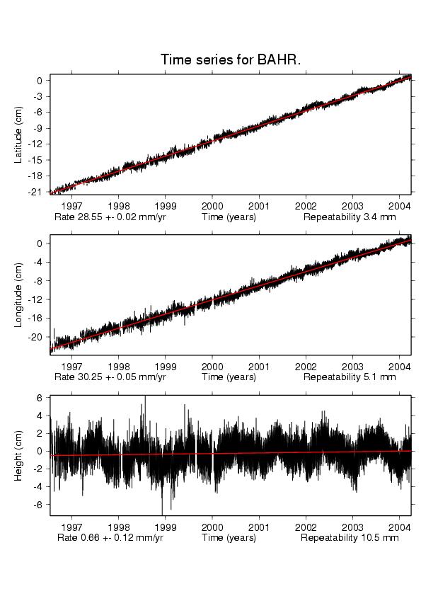
Calculations, Data, Maps, Catalogues
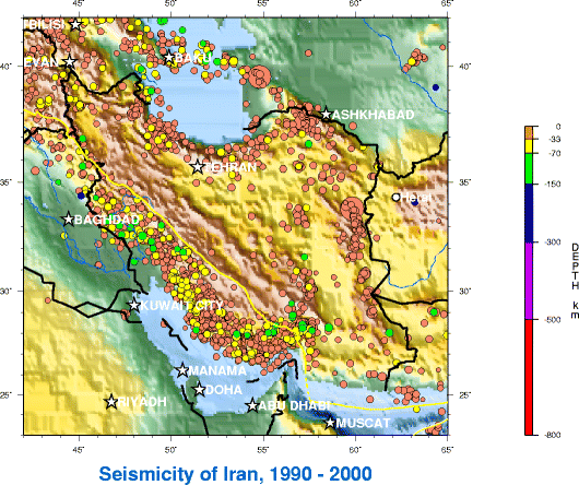
Useful links of Iran
Useful links of
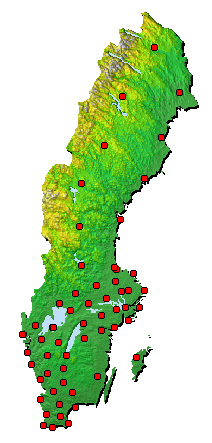
Sweden
Miscellaneous (Meetings, ISI, Journals, IAG Newsletter,
Job, Postdocs, Positions)
Miscellaneous 2 (Dictionary,
Search, fun, ...)
Sign
My
Guestbook
View
My Guestbook
|