| Calumet Region Bike Maps Updated October 2007 |
| This is a map of the Region with existing bike trails and those known to be under construction in 2006. It is designed to be printed on one 8.5" x 11" page. The full color version is 522 Kb. |
| Region Mini-Map |
| This is DRAFT of Lake County Bike Routes C4 plans to suggest to the various government agencies who would have to approve such a plan. Comments and suggestions are welcome. Join C4 and post your opinions. Click HERE for the map. |
| Lake County Bike Routes |
| This is the complete three county map with every present and future bike route that has been suggested or envisioned. I keep adding stuff so check back every now and then. Click HERE for the map. |
| Region Bike Map |
| Interactive Local Bike Maps Click on a camera icon and see a picture taken at that spot on the map. Click on an airplane icon for an aerial view |
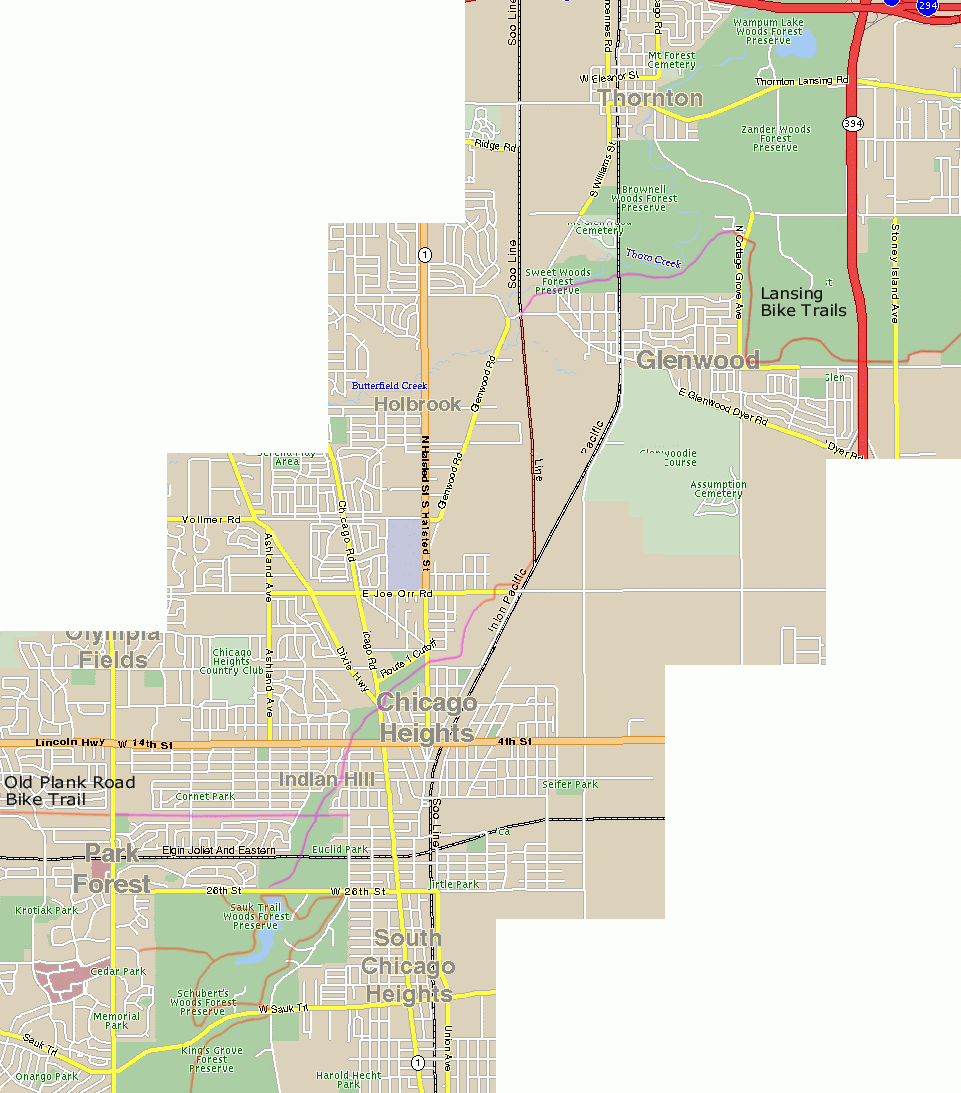
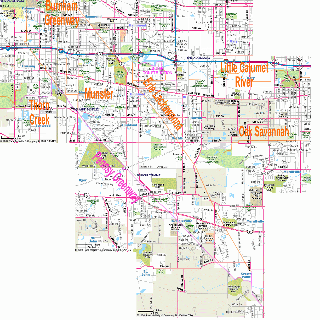
| Gap Maps - Suggested routes to get from one trail to another |
 |
| Courtesy of Calumet Citizens for Connecting Communities (C4) |

|
| Local bike maps in Google Earth You can see bikeways maps in Google Earth from Michigan City to Joliet. Requires Google Earth, which is free. Click HERE and download the latest KMZ file. Last update: 2009 03 06. |