Land and Climate
Land and Climate
)
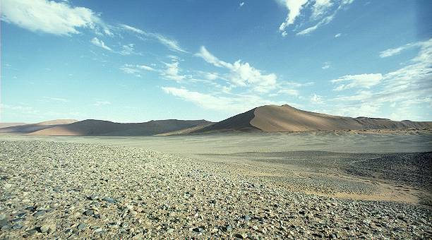
Part of the Syrian Desert extends into the country in the northwest. (Click to Enlarge) |
Turkey borders Iraq on the north, Iran on the east, the Persian Gulf on the southeast, Kuwait and Saudi Arabia on the south, and Jordan and Syria on the west. The country has an area of 168,928 square miles (437,522 square kilometers). The Great Zab River flows into Iraq from Turkey and eventually merges with the Tigris 30 miles (48 kilometers) southeast of Mosul. The country consists primarily of lowlands that seldom exceed 1,000 feet (300 meters) in elevation. The hills in northeastern Iraq rise into the Zagros Mountains, which extend along the border with Iran and reach an elevation of 12,001 feet (3,658 meters) at Rawanduz. To the south and southwest, Iraq shares desert steppe with Kuwait, Saudi Arabia, and Jordan. Part of the Syrian Desert extends into the country in the northwest. A region unique to Iraq is the marshy lowlands that surround the Shatt al Arab waterway and the union of the Tigris and Euphrates rivers just below Al Qurna. Palm trees and reed marshes cover the land here.

A region unique to Iraq is the marshy lowlands which surround the Shatt Al Arab waterway where Palm trees and reed marshes are abundant. |
Most of Iraq has a continental climate with extremes of heat and cold. The mountainous northern portion of the country has cool summers and cold winters, often accompanied by snow. In central Iraq the summers are long and hot and the winters short and cool. The mean January temperature in Baghdad is 9.4° C (49° F); for the months of July and August it is 33.3° C (92° F), and temperatures as high as 50.6° C (123° F) have been recorded. In the southern area around the Persian Gulf some of the highest atmospheric temperatures in the world have been recorded, and humidity is high. In the northeastern highlands rainfall is considerable from October to May, but farther south, on the central alluvial plain, precipitation is slight, averaging approximately 152 mm (approximately 6 in) annually. The Syrian Desert gets little or no precipitation.
View a Map of Iraq's land use.