
| ZOOM OUT OF REGIONS | ZOOM IN OF AREAS | |||||

|
Jalalabad Region Western Nangarhar Province Eastern Laghman Province Afghanistan Click to Enlarge (322KB) WestNangarharJalalabad.png |
 |
Jalalabad & Nearby Area Click to Enlarge (297KB) JalalabadArea.png |

|
||
 |
Region NorthWest of Jalalabad Click to Enlarge (287KB) NWofJalalabad.png |

|

|
Region NorthEast of Jalalabad Click to Enlarge (325KB) NEofJalalabad.png | ||
|
Region SouthWest of Jalalabad Click to Enlarge (285KB) SWofJalalabad.png |

|

|
Region SouthEast of Jalalabad Click to Enlarge (297KB) SEofJalalabad.png | |||
| Al Queda/Taliban training camps tend to be alongside railroad tracks for supplies |
NorthWest Tora Bora Region Click to Enlarge (267KB) NWToraBoraRegion.png |

|

|
NorthEast Tora Bora Region Click to Enlarge (236KB) NEToraBoraRegion.png |
||

|
Tora Bora Region Nangarhar Province Afghanistan Click to Enlarge (359KB) ToraBoraRegion.png |
SouthWest Tora Bora Region Click to Enlarge (339KB) SWToraBoraRegion.png |
 |
 |
SouthEast Tora Bora Region Click to Enlarge (296KB) SEToraBoraRegion.png |
|
|
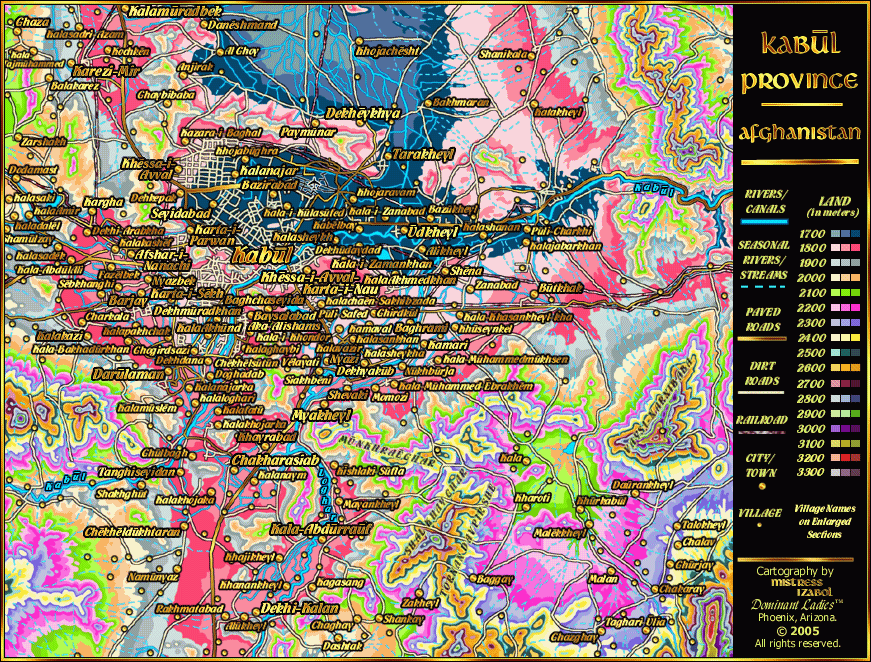
Kabul Region Kabul Province Afghanistan Click to Enlarge (327KB) KabulRegion.png |
Kabul & Nearby Area Click to Enlarge (340KB) KabulEnlarge.png |

|
|||
|
Region NorthCentral of Kabul Click to Enlarge (274KB) NCofKabul.png |

|

|
Region NorthEast of Kabul Click to Enlarge (327KB) NEofKabul.png | |||
|
Region SouthCentral of Kabul Click to Enlarge (291KB) SCofKabul.png |

|

|
Region SouthEast of Kabul Click to Enlarge (334KB) SEofKabul.png | |||

|
Kandahar Region Northern Kandahar Province Afghanistan Click to Enlarge (299KB) KandaharArea.png |
Kandahar & Nearby Area Click to Enlarge (285KB) KandaharEnlarge.png |

|
|||
|
Region NorthWest of Kandahar Click to Enlarge (235KB) NWofKandahar.png |

|

|
Region NorthEast of Kandahar Click to Enlarge (236KB) NEofKandahar.png | |||
|
Region SouthWest of Kandahar Click to Enlarge (284KB) SWofKandahar.png |

|

|
Region SouthEast of Kandahar Click to Enlarge (267KB) SEofKandahar.png |
 |
During each Ice Age freeze every 120,000 years Afghanistan and Southern Iran are impenetrable on foot. The region is covered by gigantic glaciers like a polar desert. Based on the chart to the left, that would mean that between approximately -60 meters and -100 meters (sea levels), there would be so much ice covering Southern Iran and Afghanistan that conditions would be far worse than Alaska.
Prior to the last Ice Age there were two groups that crossed Southern Iran and Afghanistan in previous melts. At sometime during the Eemian melt (120,000 Y.A.) groups speaking Dravidian languages crossed over and settled along the Indus. The Dravidian languages are considered the "old" languages of India. There is also another group that crossed Southern Iran/Afghanistan in a previous melt that speak Munda languages (part of the Mon-Khmer family). It is possible, however that Munda speakers did not cross Afghanistan in the previous melt, but rather than they migrated west from Southeast Asia. Those of the Indo-European Language family began migrating into the Afghanistan-Pakistan-India region during this melt of the Ice Age, after the last glacial maximum. |
| Migration to the Indus River by Indo-European-speaking groups most likely began during the Younger Dryas phase of the Ice Age melt or 10,000 years ago. All along the Tigris and Euphrates basin and into the former region of the Persian Gulf land were Indo-European-speaking groups of the "cow clan" or "cattle clan". They were matrilineal groups that had a clan system. Cow clan is not to be confused with cattle-eaters, but the opposite. Based on archeological finds in the Tigris/Euphrates region, cow clan did many sculptures and shrines of cattle, however, based on finds, bones and residues in their food pits and trash pits, cow clan did not eat the cattle. Instead, cow clan had a diet of gazelle (before extinct in Asia), pig, fish, and birds. Since the cow was their clan animal, they did not eat it, but rather honored the cow. Cow clan did have agriculture in the Younger Dryas phase of the Ice Age melt. Also in this phase, smaller row boats/canoes/kayak style boats begin to appear along the Palestine region and Tigris/Euphrates. Larger ships (capable of carrying livestock) definitely appear in the Aegean region during the Younger Dryas. |  |
| While their Indo-Euro sisters in the Aegean began colonization of Crete, Ariadnia (Naxos/Paros), and Cyprus in larger ships (carrying livestock) in the Younger Dryas (8000 B.C.E./10,000 Y.A.), Cow Clan along the Tigris/Euphrates--Persian Gulf began exploration in smaller boats, like canoes. Since Cow Clan already had agriculture, they sought out other areas suitable for agriculture by boat. The rivers along southern Iran/Afghanistan were still unsuitable during this timeframe for agriculture as that region was still covered by glaciers--a polar desert. The Indus became the next settlement of Cow Clan and the river to the east of it. What is unclear is how big the settlement was during this phase. Along the Gulf of Cambay (Khambat-Guajarat: east of the Indus), in an underwater archeological dig there are some wood artifacts that carbon date to the Younger Dryas along the former sunken port. This Cow Clan group evolved into the religion known as Hinduism and still honor their clan animal--cow. However, the Hindu religion has gone through many evolutions since the Younger Dryas. In the Younger Dryas phase, they began their first communities along the now-sunken coastline and began to migrate inland along the rivers which they needed for agriculture. |  |

| As the glacial melt progressed, more and more Cow Clan began leaving the Persian Gulf as their coastal lands and farms went underwater. By this phase, when sea levels were at -40 meters below present, Cow Clan traditions had evolved into full-scale Hinduism. Along the coast in the Persian Gulf was a major Hindu city, as well as along the coast of the Indus and Gulf of Cambay. Dwaraka, the underwater city at Khambat/Cambay Gulf, sits at -36 meters and is partially excavated underwater. The coastal villages that sprung up after the Younger Dryas had turned into elaborate cities by c. 3500 B.C.E. when coastlines were at -40 meters. Cities had expanded up each river system well into Pakistan, Afghanistan and India along the Indus-Kabul river systems. The group had more advanced agriculture than before, cotton for clothing, and metal-working. However, these early Hindus did not seem to use their metal-working for weapons, but rather household goods and artisian decorations. Their metal working included bronze, silver and gold. Many Hindu legends that have survived to modern times about sunken cities originate in this time frame. Islam does not exist in this phase. From the Younger Dryas (8000 B.C.E.) to shortly after -35 meters (approx. 3000-2500 B.C.E.) there is ONLY Hinduism in the Persian Gulf and nearly all human beings at the bottom of the Persian Gulf are Cow Clan/Hindu. |

| "Adam", the exile, who marks the beginning of both Judaism and Islam, apparently doesn't exist until sometime between 2500-2000 B.C.E. and the Exodus from Egypt (2nd book of the Christian Bible), doesn't occur until c. 1450 B.C.E. Adam's father most likely lived in a cow clan/Hindu village in the sunken region of the Persian Gulf. Adam's father exiled him into the Saudi Arabian desert. Eden, the city of Adam's origin, was said to be located at the intersections of the Gihon and Pishon Rivers, which is presumably a sunken region. In Islam, since the two rivers that were previously stated no longer intersected, the Muslims decided to change the location of "Eden" to be at the Tigris/Euphrates. Naturally, thousands of people have gone to the intersection of the Tigris/Euphrates and have never found "Eden", nor any archeological artifacts at that intersection. So the Gihon and Pishon Rivers (the area underwater in the Persian Gulf) would be the appropriate location of Eden. Either way, whether Eden was at the Tigris/Euphrates or Gihon/Pishon intersections, both regions were dominated by Cow Clan Matrilineal Groups. Therefore, it was a Cow Clan/Hindu village which Adam was Exiled from and not until at least a thousand years (2500 B.C.E.) after this phase of the Ice Age melt (3500 B.C.E.), making the region entirely Hindu/Cow Clan with No Adam, No Judaism, No Islam and No Christianity. |

|
In a more famous story of a Hindu sunken city, it stated that when the Hindus left by boat from their flooding city, they passed "the seven little sister islands." (after which they settled in India) However, no one has ever been able to find those seven little sister islands to say where the sunken city was located before one of several Cow Clan/Hindu migrations to India. With the finds in the Gulf of Cambay, some have postulated that maybe the seven little sister islands were along the West India coast. After mapping the coastlines of the Persian Gulf, West Indian Ocean (no 7 little sister islands there), Red Sea, Mediterranean Sea, and Aegean Sea in all phases of the Ice Age and melt, the only sea-region that ever had "seven little sister islands" to pass by boat was the Persian Gulf, specifically during the phase where sea levels were at -40 meters, c. 3700-3500 B.C.E.
Shortly after this city sinks, there were a bunch of invasions into the Tigris/Euphrates region and also across the mountains of southern Iran and Pakistan to the Indus. One of the invading groups coming from the Caspian Sea area was a cattle-eating group (opposite of cattle clan, who did not eat their clan animal). The cattle eating group spreads from east to the west coast and is denoted by the appearance of cattle bones in the food/trash pits of villages throughout the region. By this phase, the glaciers of Iran/Afghanistan had melted enough that it was once again crossable by land. Invading groups are denoted by changes in pottery and household goods in villages/cities along the Indus-Tigris-Euphrates in archeological digs. Previously the villages had elaborately decorated household goods-pottery, which changed to a more plain pottery with a lack of decoration. Invading groups did not destroy the Hindu groups along the Indus. But along the Tigris and Euphrates region, cow clan groups get repeatedly invaded after c. 3000-2500 B.C.E. and seem to change religions dozens of times before the rise of Judaism/Islam. Judaism doesn't rise up until after the Exodus (c. 1450 B.C.E.)/Islam doesn't rise up until the Persian Empire (450 B.C.E.). |