She objected to that theory and explained that a shortwave radio program she listened to the night before, there was a guest that said that we were being poisoned by additives in the fuel and there is low level "spraying" going on all around the country. Web like material and a "gel" substance were falling to the ground and causing a lot of our illnesses.
I continued looking around an noticed the same old trails at high altitude which began to dissipate as we spoke. I then asked her if she had seen any of these low level trails and substances she were referring to. The answer was no. Then I related several stories I came across about such substances being found in rural areas in Western Washington and being the researcher I am, would look further into it.
Months had passed. Being a UFO researcher and hunter, my eyes are firmly on the sky when ever possible and on May 28th 1999 at 9:15am PDT, I observed several low level contrails 5 miles to the east of me and at approximately 6,000 to 10,000 feet. The temperature was warm and the weather hazy with visibility obscured by a stubborn layer of low level thin clouds.
The location of these trails were also very curious. This area is for commercial air traffic for the south approach to SeaTac International where aircraft fly 5,000 to 8,000 feet and ready themselves for a "U" turn over the valley to align for landing. It is unusual to see high altitude craft in the same vertical co-ordinance unless they didn't originate in one of the nearby airports. Sea-Tac International is less than 5 straight miles to the west of Renton, Seattle Boeing field is approx. four miles to the north of that. McCord Air Force Base is 18 miles to the south.
It would be impossible for commercial airliners to gain more than several thousand feet in altitude as they pass my area.
The following pictures are spread over the past year. These are only the highlights because contrails are almost a daily occurrencee here. I take pictures when I see something unique. All pictures are taken from Renton Washington locations.
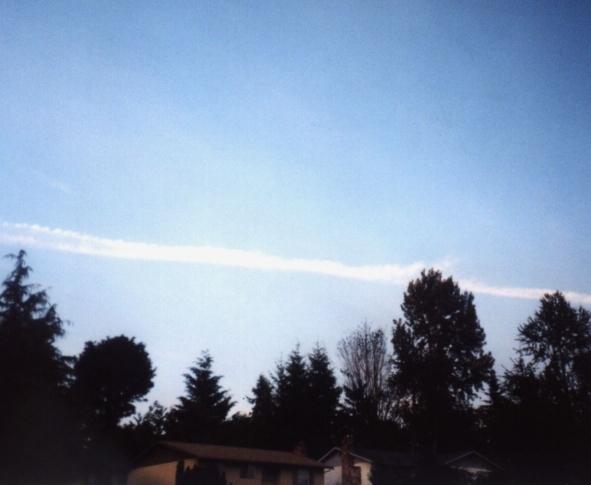
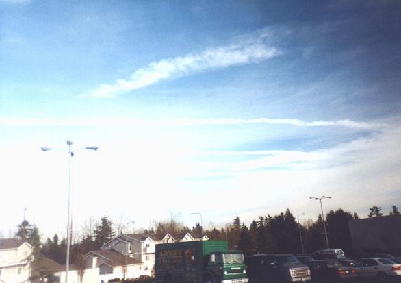
To The North From The Front Door Of My House Looking North. This is not a normal path for commercial craft. Taken June 2000. 35mm

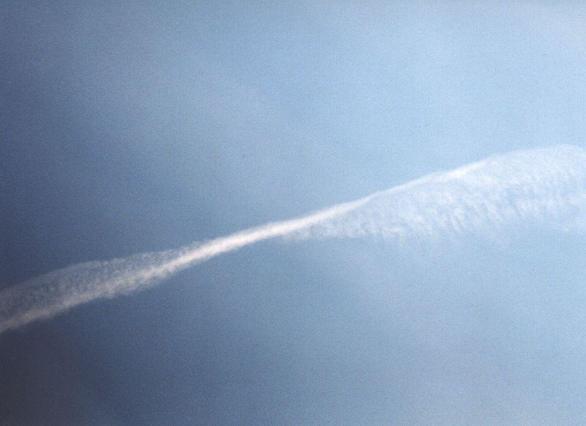
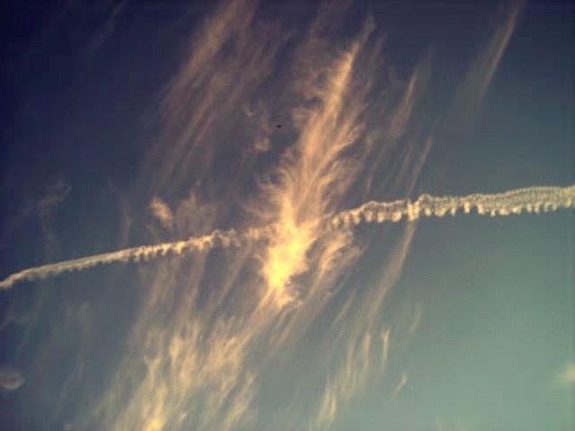
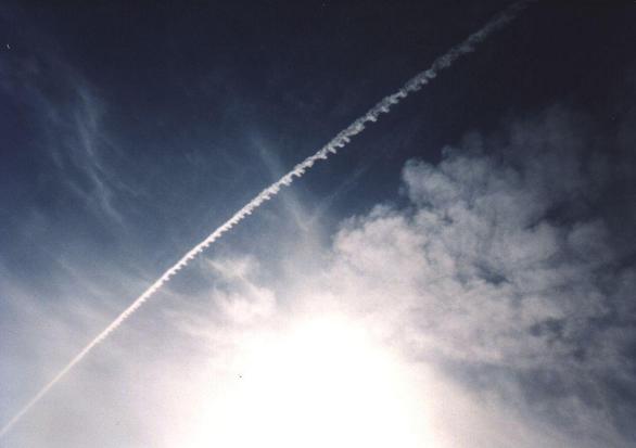
A Strange Twist Of Fate. Taken at mid-day almost straight up. May, 2000. 35mm.
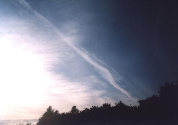
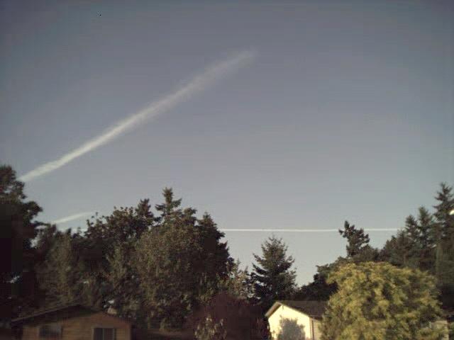
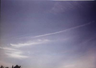
Another From May of 2000 looking northwest from my front door. 35mm.
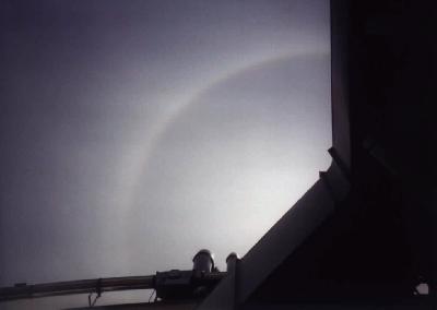
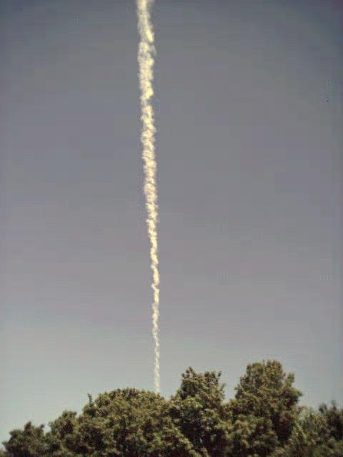
Is This The Beginning Or The End? Straight-up shot June 2000. 35mm.
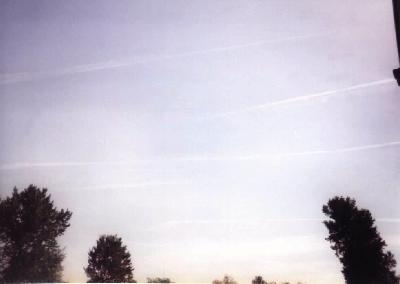
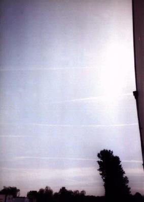
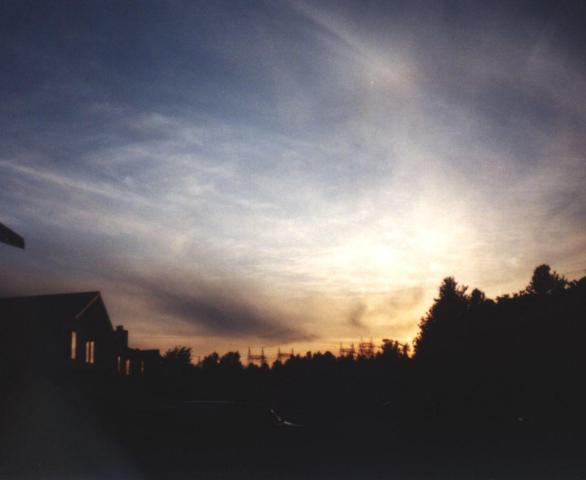
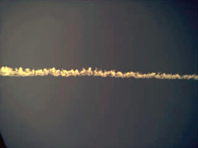
The Sky Was So Bright With Trails That I Stopped To Take This One! February, 2000. 35mm.
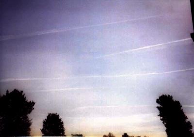
As I took the picture above, I didn't realize that this was going on above my very head. 35mm.

To the NorthWest from my house in SouthEast Renton, Wa. July, 2000. 35mm.

"X" marks the spot overhead. I wonder if they wave at each other? Mid-July, 2000. 35mm
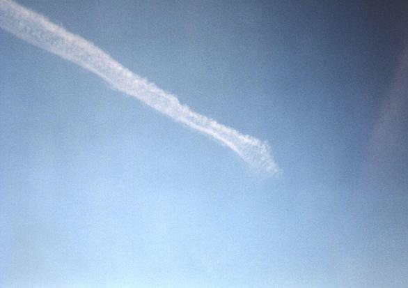
Coming right at me from the North end of July, 2000. Digital.