![]()
![]()
|
Bay Area |
Hiking Page |
County Parks |
Feedback |
|
Friends of Edgewood
|
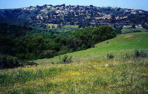
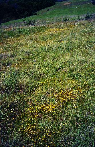
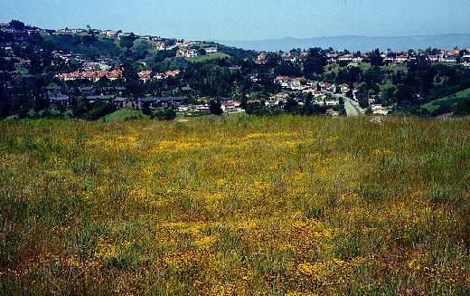
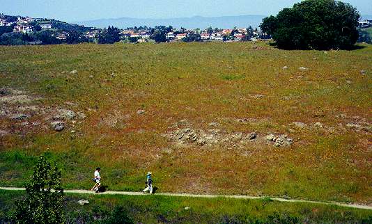
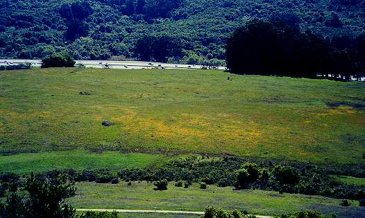
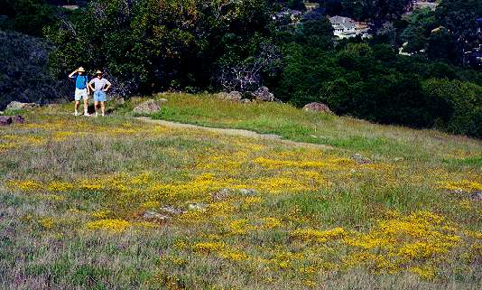
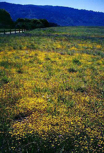
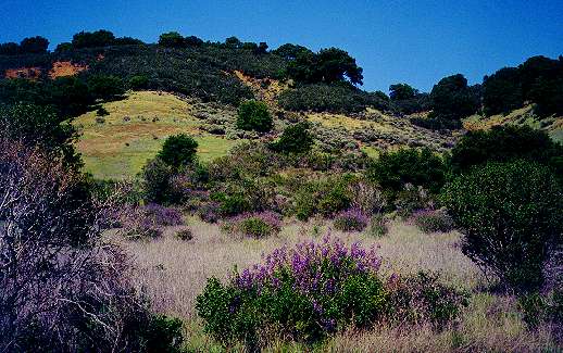
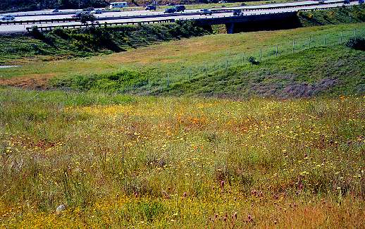
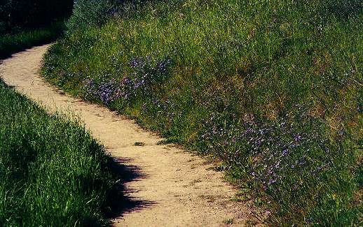
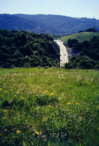
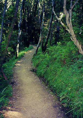
Edgewood County Park and Natural Preserve is a beautiful natural oasis of undeveloped land located in the hills above Redwoood City. It covers 467 acres southeast of the intersection of Interstate 280 and Edgewood Road. It is just east of the Crystal Springs Watershed and the Filoli Mansion and south of Pulgas Ridge Open Space Preserve. It is on hilly land whose elevation ranges from 240 to 873 fet above sea level. It has a wide variety of habitats, including cool, shady forests, steep chaparral-covered hillsides, oak woodlands, and grassy meadows. It has a wide variety of plant and animal species, including 4 protected endangered species. It is a popular place for hiking, horseback riding, picnicking, and nature study year round, but it is most famous for its spectacular display of springtime wildflowers. I took the following pictures on 3/31/2001. Starting at the Old Stage Trailhead, I walked up the switchbacks of the Edgewood Trail through shady oak forests and small grassy meadows. I took a left at the Franciscan Trail, then went up the service road through a broad, sunny meadow covered with wildflowers, with views of the surrounding hills. I turned left at the Serpentine Loop Trail, following it along the base of the ridge. At the intersection with the Ridgeview Trail, I took the Ridgeview Loop Trail up to the top of the ridge. From there, peering through the dense chaparral, I could see the wildflower-covered meadow next to busy I-280 and the Crystal Springs Valley. After dropping down off the ridge and passing the start of the lower half of the Ridgeview Loop Trail, I went up on the short Inspiration Heights Trail, which offered spectacular views of the hills and the Bay. This is a dead end spur, so I backtracked down to the Ridgeview Loop Trail and took the fork down to the right. The goldfields formed an almost solid golden yellow carpet on the lower meadow at the base of the hill. Near the Sunset Trail Head, the Ridgeview, Serpentine, and Clarkia Trail come together. I took the Clarkia Trail, which started out by running down a hot, narrow chaparral-covered canyon. It then ran by meadows and hillsides alive with butterflies, some of which may have been the endangered checkerspot. The Clarkia Trail ends at a Canada Road. Not wanting to exit there, I backtracked to the Sunset Trail Head and took the southern leg of the Serpentine Loop. This trail ran below the park's ridge, with views of the slopes below the ridge and flower-covered meadows to the west near I-280. I continued on to take the Edgewood Trail along the northwest edge of the park. The trail offered views of canyons and adjacent hills. At the next junction, I took the Franciscan Trail to the northern side of the Sylvan Trail. The Sylvan Trail zigzagged down the hillside through shady forests. (Note: I'm not a botanist, so I could use help in identifying some of these flowers.)
Created 4/21/01 by Ronald Horii |