Larkana


Location


A glance on the map of Sindh reveals that Larkana, from location point of view enjoys a strategic position. After Karachi, it is largest city on the west bank of river Indus in Sindh. It lies on 27o 33' 40.4" North latitude and 68o 12' 30.8" East longitude at an elevation of about 167 ft from the sea level. The city is located in upper Sindh at a distance of about 85 km south west of Sukkur and about 400 km in north of Karachi. Important towns in the vicinity of Larkana include Dokri, Naudero, Ratodero, Qambar, Bakrani, Shahdadkot, Badah and Miro Khan.

Larkana before partition


Sorry, your browser doesn't support Java.
Sukarno Tower

'Hujaee nano ta ghum Larkano' if you have the money, then visit Larkana. That's one of the most popular sayings by which Larkana has been fampus right from its existence. Known to be a poetic city with a romantic aura in the air, Larkana projected a loving feeling despite the fact that it lacked the beauty or precision seen in Shikarpur or Karachi. Larkana has been famous for the Guawa fruit production. But above and all these descriptions, Larkana derives its historical importance from the fact that it is the actual cradle in Sindh to the mother of all civilisations, namely 'Moen-jo-Daro' or the mound of the Dead, which is located in the vicinity of Larkana.

Larkana was founded about 300y ago by a a tribe of Sindh called "Laraks" on the banks of the Ghaad Waah, which was dug at the behest of the kalhora rulers, it had fruit and flower garden along it and in time settlers lile the sailors from 'Laar' came and settled down here which got the place christened Larkana.

This place actually progressed under the British rule in the early 20thcentury and went to be the headquarter of the province in 1901 AD with its main towns being Nao Deroo Qamber and Rato Dero. Larkana got status of Muncipal Committeee in 1855 AD. With the completion of the Sukkur Barrage in 1931 towards the west of Larkano was the Dadu Canal and in the east the Rice Canal which went on to become a place for cultural gatherings in the initial days but with the onset of the Rice Canal the Ghaad Waah started drying up and the place lost its charm.

This place has been often referred to as the 'Eden of Sind' or 'Shiraz of Sind' or even Bang-e-Anam' which led to it being known as the Garden City. This probably came about on the basis of the numerous garden that were there in the city, the most famous being the 'Tajar Baugh' and 'Gyan Baugh' apart from 'Tolani Baugh', 'Riyali Baugh', Baaey-jo-Baugh', Thanwar Baugh',' Karamam Baugh', 'Lahori Baugh', 'Dharami Baugh', 'Lekhraj Baugh'. Amongst these gardens the mangoes from Tolani Baugh and the beir from Dharami Baugh were famous throughout the world and much in demand. Two public parks also adorned the city namely 'Bolus Park' which was used for political and social gatherings and 'Mazdoor Park' which was a open air study place for the budding students.

Modern Larkana


Role of the City


Larkana is the most important city in the North West Sindh. Being home town of many political personalities, it excercises a countrywide influence. Larkana got status of Divisonal Headquarter in 1988 comprising three districts i. e. Larkana, Jacobabad, Shikarpure.

Climate of Larkana


The city of Larkana falls within a plains of Indus Valley stretching from north to south. The average mean maximum and minimum temperatures during summer are 48 oC and 33 oC respectively. During winter the average mean maximum and minimum temperatures are 21 oC and 11 oC respectively.The average annnual precipitation is about 115 mm and humidity between 40% to 60%.

Physical Features


Larkana city is divided into three parts having tow physical barriers i.e. Railway line and Rice Canal. The old town is located towards east of railway line which is densly populated and has already developed as a commercial and retail center. This part comprises Qafila Sirai, Ali Goharabad, Galib Nagar, Surahia Padhar, Kadri Muhalla, Ghareeb Mukaam, Leelaabad, Karma Bagh, Daree Muhalla, Gajanpur, Murad Wahan, Allahabad, Zulifiquar Bagh, Jinnah Bagh.

The second part of the city is between railway line and Rice canal towards the west of the old town. Main buildings and muhalla's in this part are Circuit House, Sir Shahnawaz Library, Chandka Medical College, Chandka Medical Hospital, SP office, DC office, High Court, Pilot Scondary School, STN TV station, Boys Degree College, Lahorri Muhalla, Peoples Colony, Doctors Colony.

Third part is located between Rice canal and on both sides of Ghar Wah, North West of the town. Newly developed Muncipal housing Colony, Shaikh Zaid Woman's Hospital, Comminsionerate building, District Jail, Childrens' Hospital, Dirctor Education, Larkan FM Radio station, Shaikh Zaid Colony, Police training center etc.

Educational Institutions


Educational Institutions in Larkana are Chandka Medical College, Z. A. Bhutto Agricultural College, Cadet College, Government Degree Colleges For boys and Girls, Arts & Commerce College, Oriental College, Law College. The literacy rate in Larkana district is about 35%.

Main tribes and castes residing in the district


Chandio, Memon, Gad, Kalhoro, Abbasi, Channa, Samo, Magsi, Siyal, Abro, Brohi, Jatoi, Sandilo, Kalhoro, Shaikh, Soomro, Unnar, Mirbahar, Bughio, Mashori, Machi, Jiskani, Junijo, Khuhawar, Khuhro, Sahita,Pirzada, Jamali, Harijan, Hindu, Bagri, etc.

Statistics of Larkana city


Area of City:

10 sqmiles (approx)

Population of city:
1901           0.015 millions
1941           0.028 millions
1981           0.124 millions
1998           0.519 millions
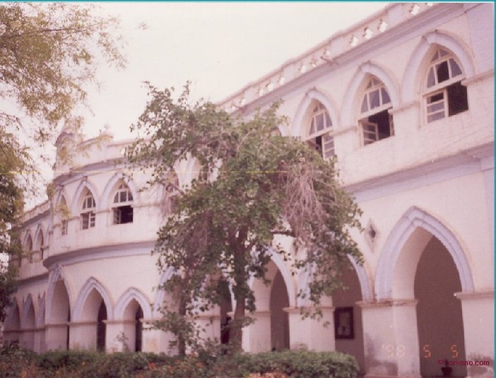
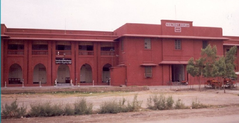
Larkana District Court
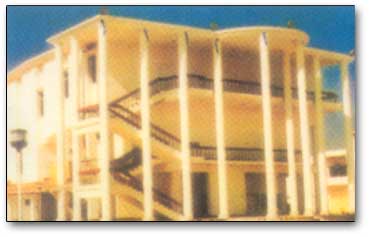
According to census 1998, population of other towns of the district
Shahdadkot           0.0672 millions
Kambar                 0.0673 millions
Rato Dero             0.0456 millions
Badah                    0.0375 millions
Nauo Dero            0.0316 millions
Nasirabad             0.0271 millions
Warah                    0.0183 millions
Dokri                     0.0182 millions
Miro Khan             0.0102 millions
Geralo                    0.0067 millions
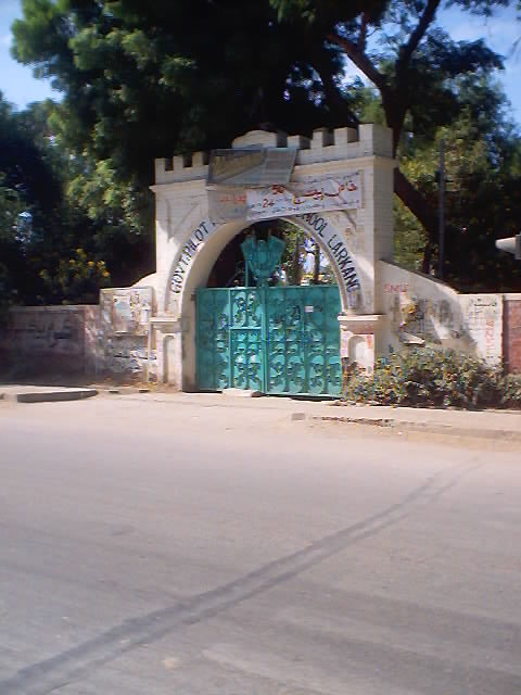
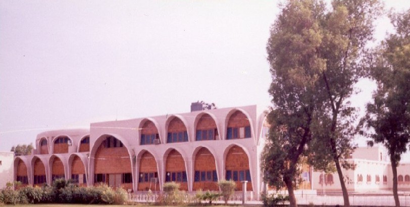
Girls College, Larkana

There are 19804 villages in the district. The total population of these villages is 1.47 millions.

Roads and Streets:
Roads/streets (width more than 25 ft) = 66 miles
Roads/streets (width less than 25 ft) = 275 miles

Cinema Houses
Al-Manzar,    Empire,   Nigar and    Chelopetra

Public Parks
Jinnah Bagh, Zulfiquar Bagh, Shahnawaz Childrens Park, New Railway Park 1 & 2, Nawa Tak Park, Kamal Atta Turk Park and Tank Chowk Park
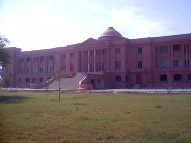
Chandka Medical College, Larkana

Other statistical data

  • No. of Schools & Colleges in the district
    Primary Schools                    2687
    Seconday Schools                 135
    Colleges, Institutes                81


  • Health
    Hospitals                                13
    Basic health units                 59
    Dispensaries                           12
Shahnawaz library, Larkana


Famous Places


BACK