Views of Christchurch from Above
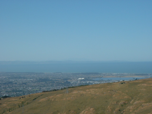
The Port Hills surround Christchurch to the South and separate Christchurch from Lyttleton Harbour. These pictures were taken from atop some of the Port Hills and are overlooking Christchurch.
 |
 |
 |
 |
|
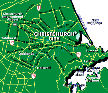
This map is to
remind you of the area surrounding Christchurch. The Port Hills extend
all along the northern border of Lyttleton Harbour.The pictures to the
right were taken from Summit Road. For those of you who have looked
at the Church Bay pictures, Church Bay is located between Governors
Bay and Diamond Harbour.
|
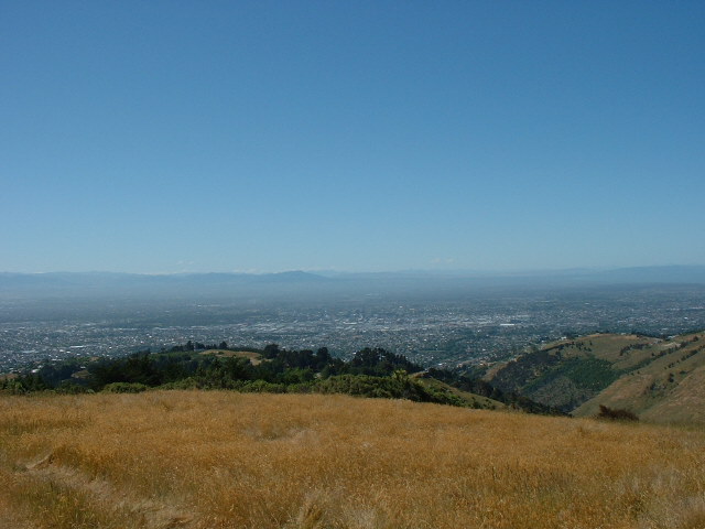
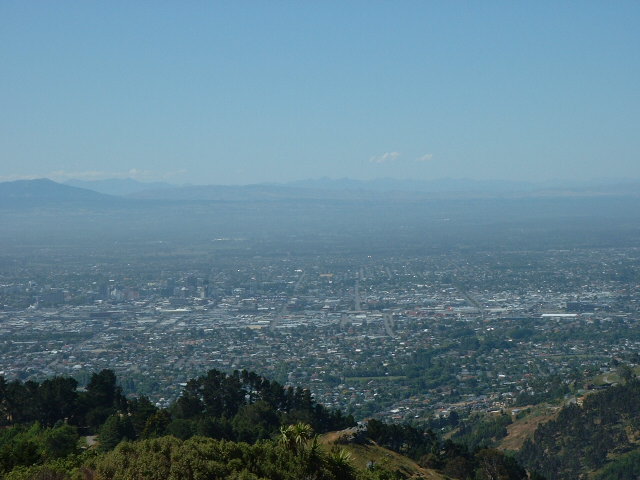
These pictures
give you a better idea of the size of Christchurch. The middle picture
looks directly northward from the Port Hills, while the picture on the
left is to the east and looks out over New Brighton to the Pacific Ocean.
As my boss put it, if you start sailing east of here, the next land
you will reach is Chile. Interesting perspective.
|
||