July 24, 1998
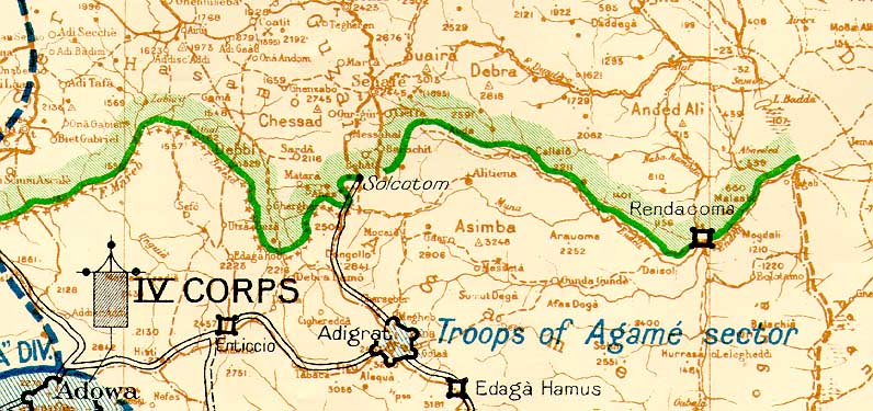
Alitena is clearly shown in Ethiopian territory, yet the Italians have labeled a tributary river to the south of Alitena as the Muna. But the treaty of 1900, which dealt with this part of the border traces the frontier along a southeast trending river; not a northeast trending river.
"Art. I.-The line Tomat-Todlue-Mareb-Belesa-Muna, traced on the map annexed, is recognised by the two Contracting Parties as the boundary between Eritrea and Ethiopia."
(For a full reference to the Treaty of 1900 click on the link.)
Which river is the real Muna referred to in the treaty? From the Carta Dimonstrativa, it is clear that the river mentioned in the treaty lies north of Alitena and flows to the southeast. Therefore, both the Italian military maps and the Treaty of 1900 agree that Alitena should lie in Ethiopia. Eritrea is completely unjustified in claiming Alitena.
The Eritrean claim probably derives from the way the Italians have labeled the tributary river as the Muna. If the Italians truly believed the Muna-frontier lay south of Alitena, why did they not occupy it? Eritrea faces a difficult choice here - They cannot claim that the Italians drew the frontier in the wrong place because their entire case rests on the validity of Italian maps from 1934.
Additional Notes: