"Virtual Hike" page 1: Trailhead to Headwaters
Hill
Hi - thanks for joining me on a virtual hike to Headwaters
Hill! There are a total of 12 pages on this hike. I'd encourage
you to take the full hike, as this will give you the most complete
overview of Headwaters Hill. On the hike, you will visit every photo
at this site in an organized and contextual manner. But, in case you
need to exit, each page provides links to lists of specific photos
and maps, as well as a link to get you back to the homepage. There is
also a link to the feedback form.
Regardless of when you leave, I would sincerly appreciate if you
would fill that out - it will take only a moment.
Speaking of maps: if you haven't already downloaded the detailed
map in another window, you might want to do that now before you
proceed on the hike (some people like to have that map handy for
reference as they read the descriptions on the following pages).
Click here to view
the map in a new window. (You may have to drag the new window out
of the way, so you can resume the hike from this window.)
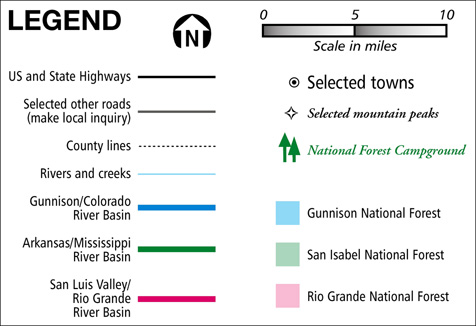
Below is an overview map, to give you a general idea where the
mountain is, and how to get there:

As far as I know, the only automobile access to Headwaters Hill is
via Marshall Pass. It was once a railroad, the tracks for which were
laid in 1881. Today, the tracks have been removed, and Marshall Pass
has been coverted to a dirt auto road that runs between US 50 at
Sargents and US 285 south of Poncha Springs. Since it was originally
built for trains, the grade is very gentle. It's neat to drive
through a few narrow gaps between some rock walls, which obviously
wouldn't have been cut if it were simply an auto route. I don't
recall ever having been on the west slope of the pass, but the east
approach was in very good condition when I was there in both 1998 and
99. My small passenger car handled it with no problem. I can't say
for certain, but I would think access during the snowy months would
be limited to four-wheel-drives, if not to snowmobiles only - and I'm
not sure whether they're even allowed.
Please note the location of Headwaters Hill, Windy Peak, Antora
Peak, Marshall Pass, Mt. Ouray, and O'Haver campground - and go to
the next page.