
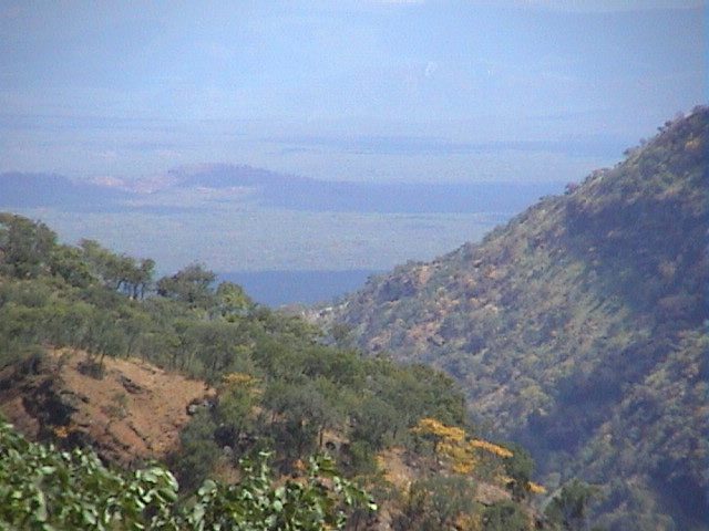
A picture of Luano Valley View
S ource: http://imwanza.com/moreplaces.htm
VAN
RENSBURG
PASS
IN ZAMBIA
Author:
A.M. van Rensburg (b4
c2 d1 e6 f5 g5 h3 i2)
Webmaster:
M.A. van Rensburg
(b4
c2 d1 e6 f5 g5 h3 i2 j1)
Back to home Back to Historical
Five hours drive east of Lusaka, Zambia if one goes off the beaten track and follow the route past the Old Kampumba mine you will reach Van Rensburg's Pass which looks down over the Luano Valley. Close by is the Mulungushi Falls.
Mulungushi Power
station is 65 km east of Kabwe (formerly Broken Hill). This station started
in May 1925. The mines at Kabwe closed in 1994.
Lunsemfwa Power station
78 km east of Kabwe is Lubembe and Kampumba mines.
A picture of Luano Valley View
S ource: http://imwanza.com/moreplaces.htm
View of the Great Rift Valley near Bell Point
Source: http://homepage.mac.com/nicclift/Bell%20Point%20Trip%20March%

Luangwa river
Source: http://www.africaneagle.co.uk/albums-zambia.html
The Kampumba project is 130km north east of Lusaka and 90 km east of Kabwe
The Luangwa Valley is one of Africa’s prime wildlife sanctuaries, with concentrations and varieties of game and birdlife that have made it world famous.
The ‘Valley’ lies at the tail end of the Great Rift
Valley, that continental fault
which runs from the Red Sea down the length of East Africa. This accounts for
the spectacular escarpment scenery in East Africa as well as the African Lakes.
As the Rift reaches Zambia, it divides; one arm to the east encompasses Lake Malawi and the western arm becomes the Luangwa Valley, which stretches some seven hundred kilometres at an average width of about one hundred kilometres.
Mulungushi river flows into the Lunsemfwa river which flows into the Luano
Luangwa Valley
http://www.lowdown.co.zm/2003/2003-10/kabwekapersoct2003.htm
http://www.bushcampcompany.com/did-u-know.htm
Map of Zambia http://www.multimap.com/index/ZA3.htm