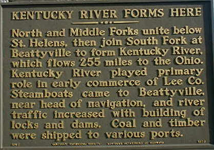
Kentucky River Forms Here
North and Middle Forks unite below St. Helens, then join South Fork at Beattyville to form Kentucky River, which flows 255 miles to the Ohio. Kentucky River played primary role in early commerce of Lee Co. Steamboats came to Beattyville near head of navigation. and river traffic increased with building of locks and dams. Coal and timber were shipped to various ports.

Home History Local Attractions
Ky Highway Historical Marker Located on Bypass near River, Beattyville,
Ky
Updated March 17,
2000
Webmaster