Wellingborough to Thrapston - my walk 2005I got off the train at Wellingborough train station and walked south towards the river. This station was not on the Peterborough to Northampton line but there was a link to it. I was intending to leave the road and take a footpath (the one from 'Kangaroo Spinney') to the river marked on the map. However, it apparently is no longer there so I tried walking along the dismantled line that linked Wellingborough station to the Peterborough to Northampton line. It turned out to be a very easy and enjoyable walk, not overgrown at all, ending at the river. 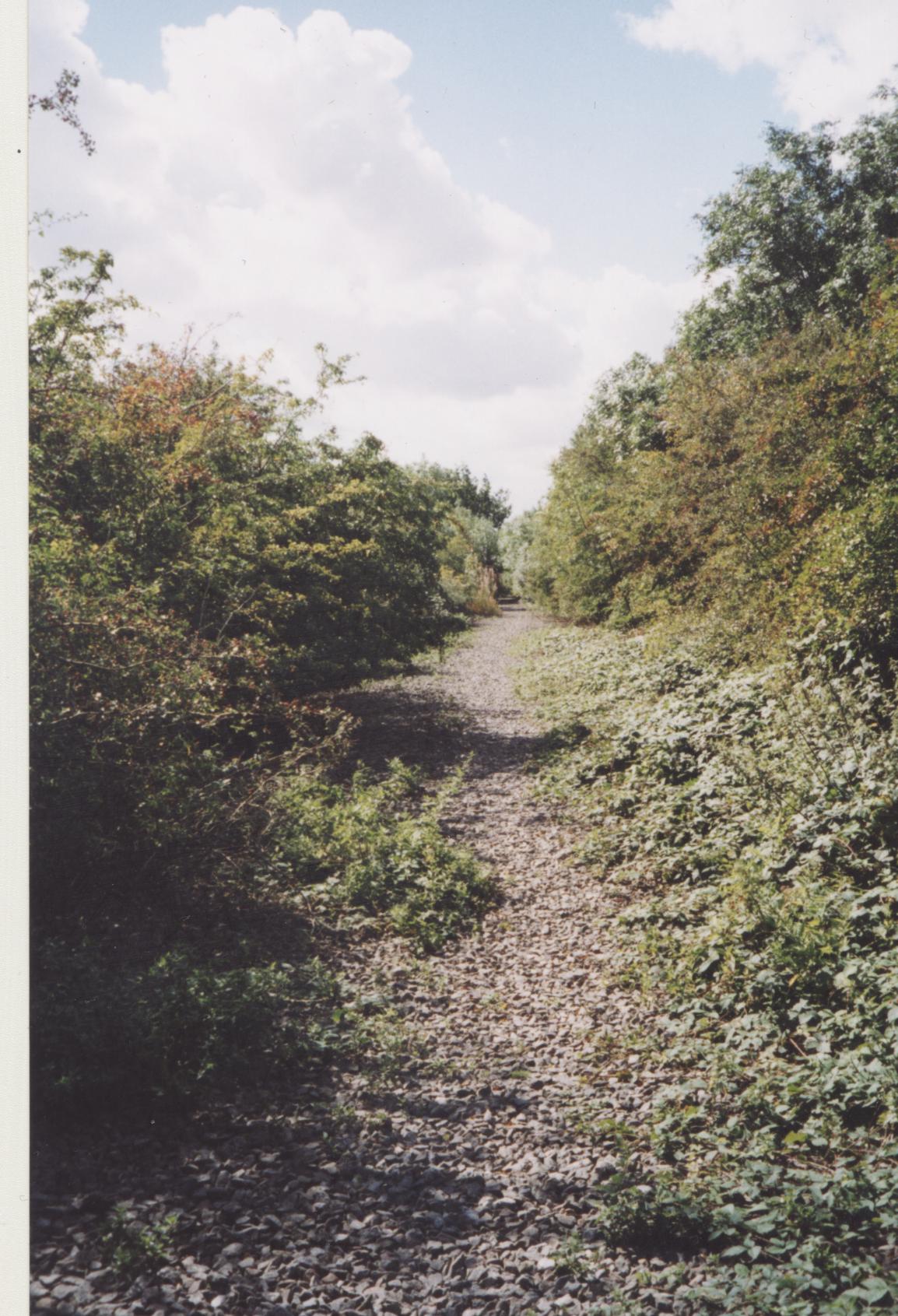 I walked east along the river, looking for the old railway bridge that carried the dismantled Peterborough to Northampton line. I could see no sign of it, so I continued along the river. I could see the main line (between Wellingborough and Bedford) and the bridge where the dismantled Peterborough to Northampton line went underneath it. 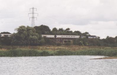 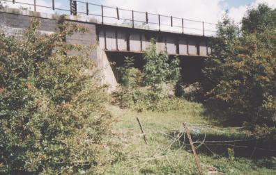 I could have continued the walk along by the river, along the Nene Way, but instead I decided to try and walk as far as I could along the dismantled line. I walked along the line of the power lines which is roughly where the line was. There are lakes here and the ground is overgrown. It was easier to walk along the shore of a lake when possible. 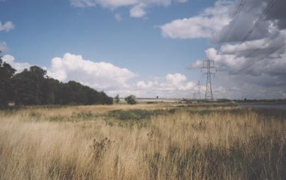 It was rough going. I encountered a herd of horses that had not been groomed for some time. Their hair was matted with many burrs attached. I realised that by hopping over a fence I would be on ground that short grass and easy to walk. There was a lake and a path. I came to a little portacabin and I went in to have a look. As luck would have it, the first rain shower of the day happened then, so I was sheltered. Then it was easy to get onto the old railway track, which here seems to have been tarmacked. 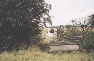 looking north 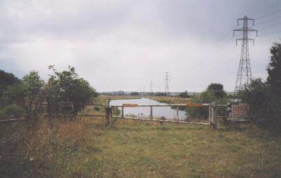 looking west 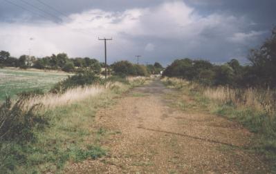 looking east From here it is an easy walk to Ditchford Road. I was now on territory that I had walked before. The road to the sewage farm lies on top of the track bed, and I walked to the side of it, along the Nene Way. Just past the sewage farm I got back onto the route, which is a narrow path, a bit overgrown. This goes past lakes, across a bridge and then onto a long stretch with hedges on either side. Beyond the A6 is Stanwick Lakes. They seem to be about finished with the landscaping and are building an adventure playground. The route of the track bed is not clear here, but eventually the route can be seen heading northwards towards Woodford Mill. The bridge near the marina has been completed. 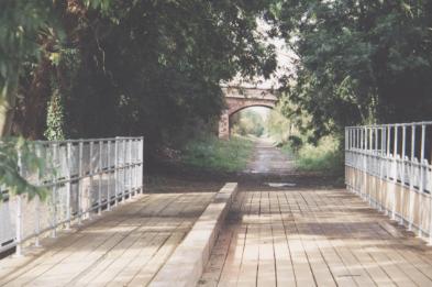 I walked past the marina along a clear path to the A14. Then I went under the A14 bridge across the Nene, walked uphill a bit till I could get onto the viaduct that carried the Midland railway across the river. This took me to Midland Road and into Thrapston. |