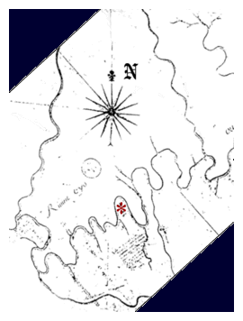
First Map of the Ohio River
by de Mandeville, 1740
This map was made by means of a compass,
but the distances were plotted by the time
elapsed to travel the distances. This accounts
for some of the inaccuracies of the map.
Larger Copy of Map

Larger Copy of Map