| How to Use Radar To Locate Severe Weather (continued) |
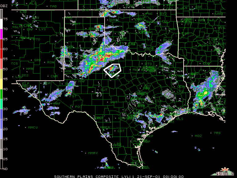
| Isolated cells that tend to develop ahead of the squall lines generally do produce severe weather most of the time. This storm is highlighted by the white box. |
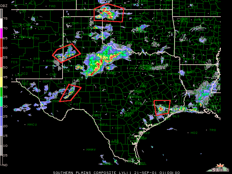
| Groups of isolated pockets of storms like these usually produce severe weather. In this case so many isolated groups formed because there was a highly unstable atmosphere. |
| Other Places To Look For Severe Weather |
| Cell in a Broken Squall Line especially those just north or east of a gap. |
| A cell whose motion deviates from the average storm direction. |
| Another Radar Picture you can look at through intellicast.com is the radial velocity picture. This shows wind direction and speed. Green colors are winds coming towards the radar and red colors indicate winds moving away from the radar. If you happen to see darkred and dark green colors (high winds) close together in the area of the storm it may be a good indication of rotation. If there is no rotation, you can use it to look at high wind speeds to see about how stron the winds are in the storm. |
 |
 |