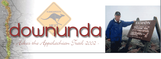
 |
Photo Album
- Roll 2
10th to 19th May 2002
These photos were taken between Trent's Grocery (594 miles) and Daleville
(709 miles)
|
 
10th May 2002
Wildflowers near Trent's Grocery.
|

10th May 2002
The Trail crosses this river near Trent's Grocery. Mile 594.
|

12th May 2002
Entering Pearisburg, VA. Mile 617.
|
13th May 2002
Rice Field Shelter, VA L to R, Rocket, Tarzan (front), ?, Downunda, Bald
Sparrow, Paradox.
|
|

15th May 2002
The sun's out at last near War Spur Shelter. Mile 650.
|

15th May 2002
"Corn Cob" heading North.
|
15th May 2002
"Stray Cat" at The War Spur Shelter. Mile 650.
|
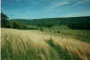
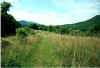
15th May 2002
Crossing a field near The Keffer Oak at Mile 658. The "white
blaze" (centre) marks the AT.
|
|
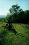
15th May 2002
The AT crosses this Style in a field. The Keffer Oak is in the background.
|

16th May 2002
The magnificent Sarver Hollow Shelter, VA. Mile 662.4.
|

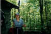
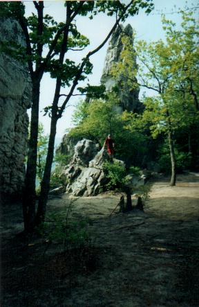
17th May 2002
Downunda at the base of the Dragon's Tooth. Mile 681.6.
|

17th May 2002
Downunda walking past flowers in bloom on the AT. Mile 683.
|
|

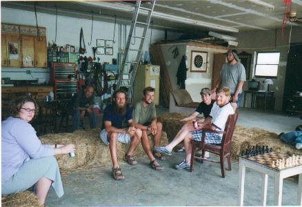
17th May 2002
The gang at Four Pines Hostel. Mile 684.1 L to R, Tarzan's Wife, Corn Cob,
Paradox, Rocket, Bald Sparrow, Tarzan, John (standing)
|
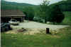
17th May 2002
View of The Four Pines Hostel from up the field.
|

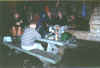
17th May 2002
View from inside the Four Pines Hostel. "Real" is seated.
|

18th May 2002
Timber walkways take the AT over rock faces near Catawba, VA. Mile 690.
|
|

18th May 2002
Downunda bravely stands on McAfee Knob at mile 693.5
|
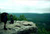
18th May 2002
"Real" (L) and "Corn Cob" (R) at McAfee Knob VA, mile
693.5
|

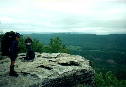
18th May 2002
Standing on Tinker's Cliffs looking toward McAfee Knob in the distance. Mile
699.1
|

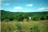
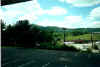
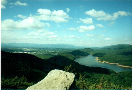
19th May 2002
Looking toward Daleville & Troutville with Carver Cove Reservoir at
right. Mile 706.
|
|

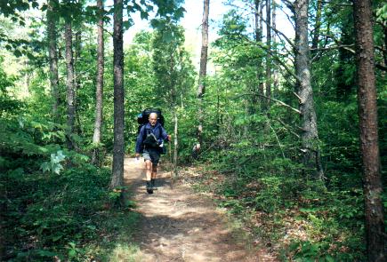
19th May 2002
"Real" heading along the AT just outside Daleville, VA mile 709
|
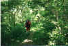
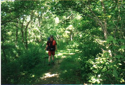
19th May 2002
Downunda on the AT outside Daleville VA at mile 709
|
19th May 2002
View west from the AT at mile 709
|
19th May 2002
Looking south back along the Trail (where Downunda has just come from) at
mile 709
|
|
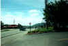
19th May 2002
The AT comes out on Highway 220 at Daleville VA (709.6 miles)
|
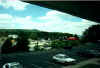
19th May 2002
View right from the Econolodge, Daleville VA (709.6 miles)
|
19th May 2002
View strait out window from Econolodge, Daleville VA (709.6 miles)
|
|
|
Return to Photo Index
|
;)
;)
;)
;)
;)
;)
;)
;)
;)
;)
;)
;)
;)
;)
;)
;)
;)
;)
;)
;)
;)
;)
;)
;)
;)
;)
;)