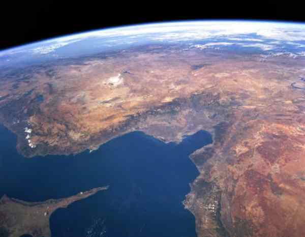
After I heard astronauts
mention in interviews how visibly polluted the atmosphere over the
northern hemisphere looks from space, and how their hearts were bleeding
looking at it all, I have been searching high and low for air-pollution
photos from space, but these shots are the only ones I could find. They
are not even any good, except for the first two. The first is a frame from
a film, taken around 1990 (?) from a shuttle, the second was taken in 1968
(!).
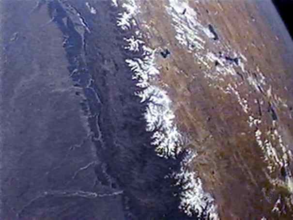
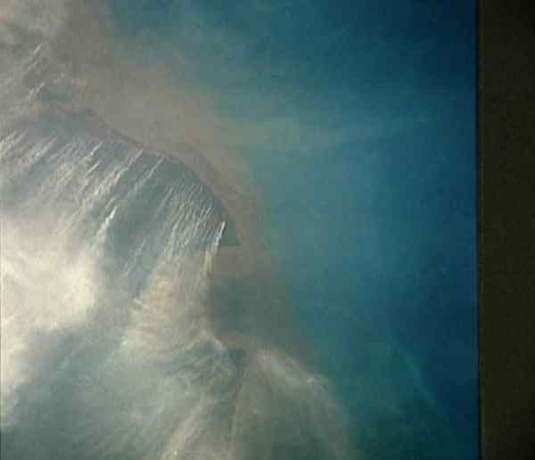
This photo was taken from maybe 200km
distance. The dark, opaque area on the left
is
the lowlands around the river Ganges, from about Delhi (top left) to Bangladesh
(bottom, centre). It is a couple of kilometres lower than the Tibetan high
plateau on the right half of the picture. Just because we are looking through
a couple of kilometres of air, we can see such a dramatic change in colour.
This means that the air is so thick with pollutants
that light is impaired to pass through. But just look at the amount
of colour-change! And its like this nearly everywhere now.
NASA Photo ID: AS07-11-2022
File Name: 10074916.jpg Film Type: 70mm Date Taken:
10/12/68
Title: Southern California as seen
from the Apollo 7 spacecraft Description: This view of southern California
as seen from the Apollo 7 spacecraft during its 18th revolution of the
earth. Photographed from an altitude of 124 nautical miles. The coast of
California can be seen from Point Mugu southward to Oceanside. Santa Catalina
can be seen below the off shore clouds. Details of the Los Angeles area
are obscured by pollution which extends from Banning
westard for 100 miles to beyond Malibu. In the upper portion
of the photograph can be seen (left to right) the San Joaquin Valley beyond
Bakersfield, the Techachapi Mountains, the Sierra Nevada, Owens Valley,
Death Valley and the Mojave Desert.
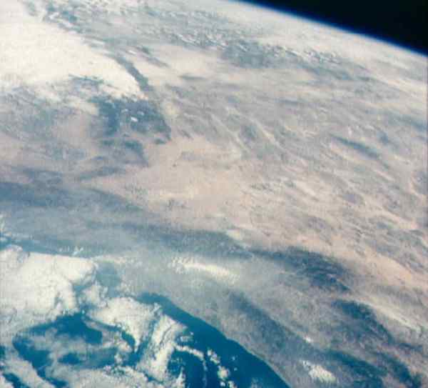
NASA Photo ID: STS73723054
File Name: 73723054.jpg Date Taken:escription: COLOR 20 OCTOBER
- 5 NOVEMBER 1995 STS073-723-054 JOHNSON SPACE CENTER, HOUSTON, TEXAS STS-73
EARTH VIEW (CYPRUS, TURKEY) --- Central Turkey dominates this north-looking
panorama, with the long fingered island of Cyprus lower left, surrounded
by the deep blue waters of the Mediterranean Sea. Turkey's capital, Ankara,
lies just north of the white bed of a dry lake in the center of the view.
The city is supplied with water from the neighboring blue lake. The coast
of Syria and Lebanon appear bottom right. Man-made lakes on the upper Euphrates
River in eastern Turkey appear extreme right.. According
to scientists studying the STS-73 photo collection, the striking difference
in visibility to north and south of Turkey suggests a pollution event over
the Black Sea. Air pollution from East European industry flows down into
the Black Sea basin, especially at the west end (haze top left) as shown
in this view (compare clearer air top right).
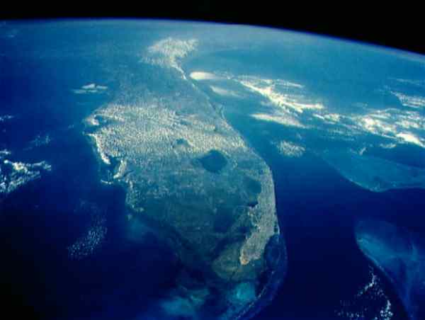
NASA Photo ID: STS052-153-101
File Name: 10065360.jpg Film Type: 4x5 Date Taken: 11/01/92
Title: Central and Southern Florida,
USA Description: This oblique view documents conditions in South
Florida (27.0N, 81.0W) in the aftermath of Hurricane Andrew that severly
mauled south Florida on 24 Aug 92, battering Dade County with a 16.9 ft.
storm surge and wind gusts of up to 169 mph. An additional feature is the
band of haze running across the central portion of the state The
band of air pollution has been drawn from the north by a weak cold
front and was focused along the east/west axis of the front.

NASA Photo ID: STS052-15-007
File Name: 10065340.jpg Film Type: 35mm Date Taken: 11/01/92
Title: Sunset
Description: This cross section of the Earth's atmosphere at sunset and
earth limb (24.5S, 43.5E) displays an unusual layering believed to be caused
by temperature inversions which effectively concentrate smoke, dust and
aerosols into narrow layers. the top of
the stratosphere can be seen as the top of the white layer thought to contain
volcanic debris. The purple layer is the troposphere
containing smoke from landclearing biomass burning.
NASA Photo ID: STS048-71-090
File Name: 10065058.jpg Film Type: 70mm Date Taken: 09/18/91
Title: Major
Land Clearing Fires, Kalimantan, Borneo, Indonesia Description:These
many and intense land clearing fires in the Kalimantan region of the island
of Borneo, Indonesia (3.5S, 113.5E) are indicative of the many deforestation
activities on a worldwide scale. In order to feed and house ever increasing
populations, more cleared land is required for agriculture to feed ever
increasing populations. More pasture lands are needed for livestock. And,
more cleared lands are needed for housing.
links:
NASA
Home Page ...JSC Home
Page ....Imagery Services Home
Page....Search
<< cool
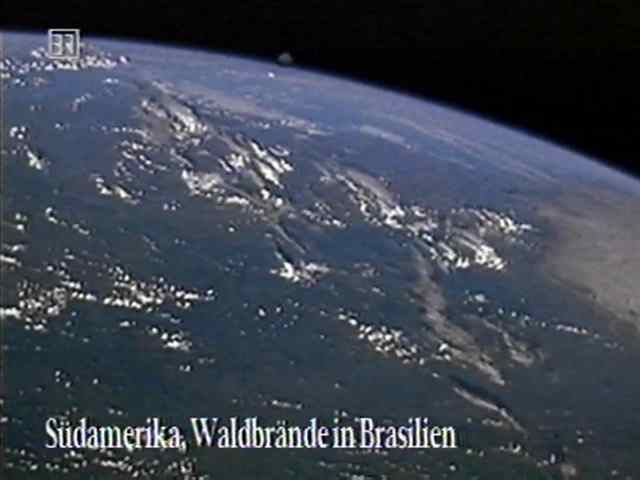
South America, Forests burning in Brasil
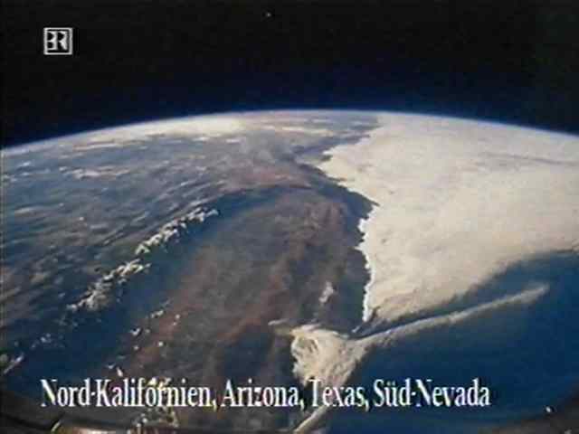
Northern California
back to the main Airpollution page