
GPS-based Maps of the Sahyadris
These maps have been created using the Global Positioning System (GPS) for obtaining hiking trails and landmarks with great accuracy.
GPS technology, which utilizes signals from orbiting satellites, enables an accuracy of within 15 feet or 5 meters anywhere on the surface of the globe. Such an unprecedented level of accuracy had never been available until just a few years ago. Without this technology, the maps on this website would not exist.
All these maps are in PDF format. If you are unable to view these maps, you can download the PDF viewing software for free from the Adobe website at www.adobe.com.
To view any map, simply click on the image or title of the relevant area. If you have a PDF viewer on your computer, the map will show up. Click on the 'save' icon in your PDF viewer to save the map on your own computer.
This website has been created as a free resource to the general hiking community.
The maps presented here can be freely downloaded from this website and distributed, provided the original maps are not altered in any way. You can also display these maps at your website if you wish to do so. The use of these maps is restricted to non-commercial use only.
|

|
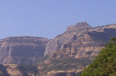
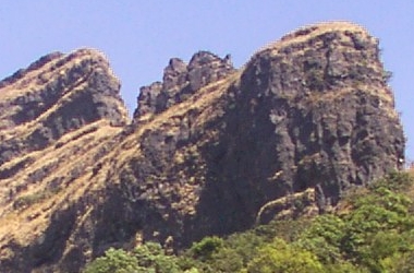
A truly amazing hiking spot with thick forests, huge cliffs and ancient monuments. A minimum of two days is required to visit this area. Some prior hiking experience and immunity to the fear of heights is recommended.
|
|
This is a continuation of the map mentioned above and consists of a detailed view of the Harishchandragad plateau. GPS coordinates of all points of interest are included in the map.
|
|
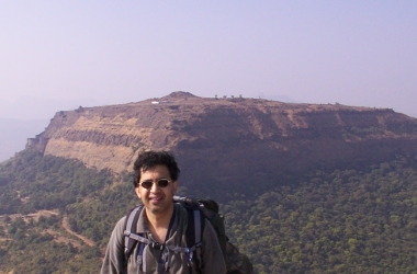
If you are new to hiking, this is an excellent place to go. A pleasant day-long hike will reward you with great views from the summit. The easy accessibility of the trail-head, located near Khandala, is another big advantage for the novice. |
|
The fortifications of Lohgad fort are amongst the best preserved in the Sahyadris. The windy flat expanse of Visapur will leave you spell-bound. Bhaja caves is a time machine that will take you back to an era over 2000 years ago.
|
|
This easily accessible fort provides some of the best preserved fortifications that are to be found in the Sahyadri ranges, in addition to being of religious significance.
|
|
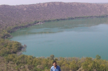
Although strictly not a part of the Sahyadri range, the Lonar Crater offers spectacular views, good hiking opportunities and ancient relics - features that are common to many Sahyadri sites.
|

|
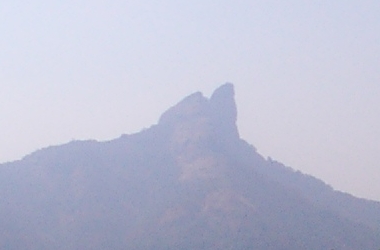
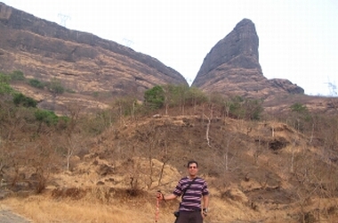
This peak is located in a relatively remote region south of Lonavla. The characteristic shape of this rock formation provides a good rock-climbing experience for the expert climber.
|
|
Naneghat is not just a trek but a trip down ancient history. It is ideal for anyone interested in a rewarding one-day adventure out of Mumbai.
|
|
A visit to this incredibly strong fort is a must for anyone wishing to pay their respects to one of the greatest rulers of all time, Chattrapati Shivaji Maharaj.
|
|
This fort is the birth place of Chattrapati Shivaji Maharaj. A must for any enthusiastic Sahyadri trekker. |