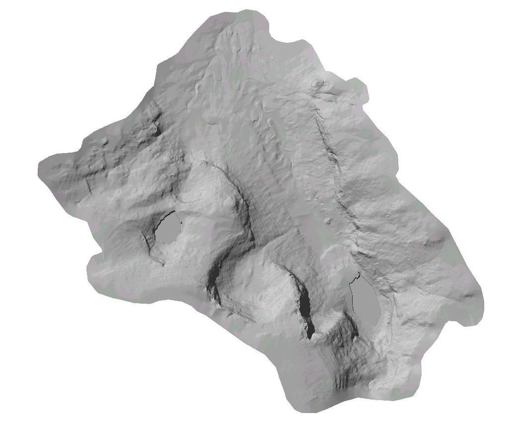
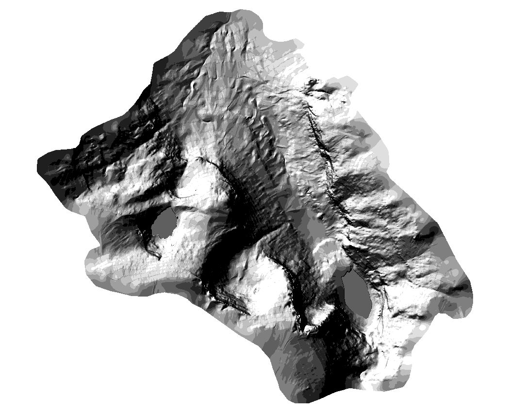
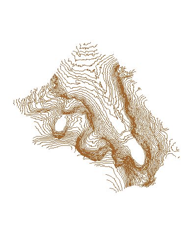
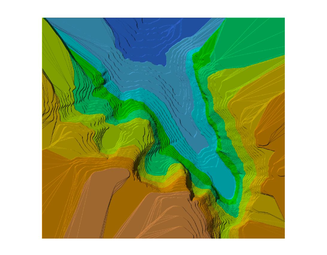
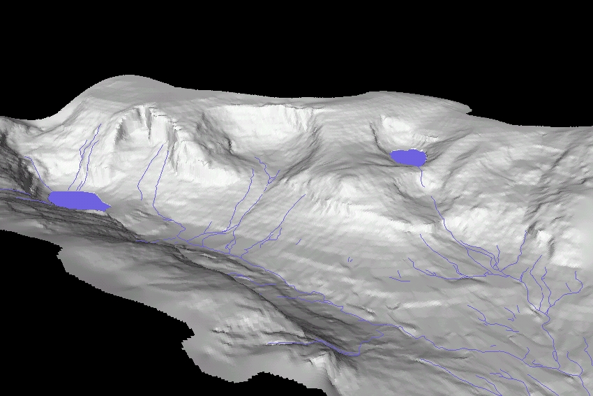
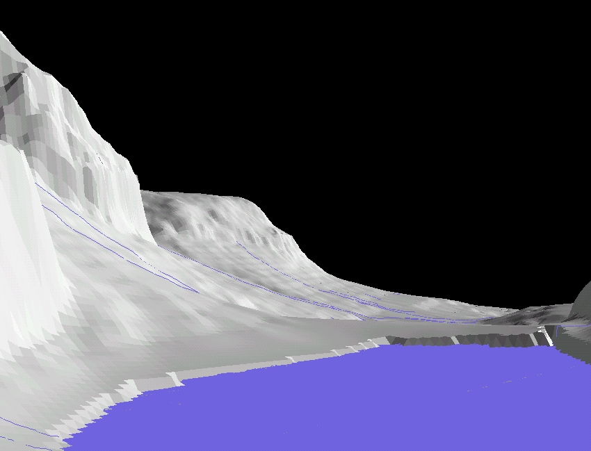
| Abstract: The purpose of this digital modeling venture was to outline a means of extracting higher-order data from basic native datasets to build a cartographically insightful and analytically meaningful presentation of landscape expression in a region of current and future scientific interest. In devising the cartographic aspects, real-world ground and air photography was referenced to serve as a measure in articulating an authentic visual rendition of the area’s physical features. Equally, analytical authenticity was ensured in employing photographic as well as mapped accounts of landscape features and sub-features as base references in honing the most accurate digital rendition possible with the given constraints of the systems and timeframes that the project exploited. |