These are photos I have taken while on vacation in England. They are copyright 1997/8 by me. There are more on the Adventures of Teddy through Time page.
This page will take a bit to load.
| Stonehenge |
|
This is, of course, Stonehenge, near Amesbury, Wiltshire. This complex was begun around 3000 BC and had several redesigns and additions until about 1600 BC. Most of the stones are gone from Stonehenge, mostly for use in 17th and 18th century building projects. There are several barrow fields around Stonehenge, photos of which I may later include on this page. |
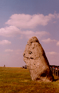 This is the outlying menhir known as the Heel Stone. It along with a companion menhir (post hole found in 1979) made up the southeastern alignment with the great trilithon of the horseshoe on the summer solstice sunrise. |
| Avebury |
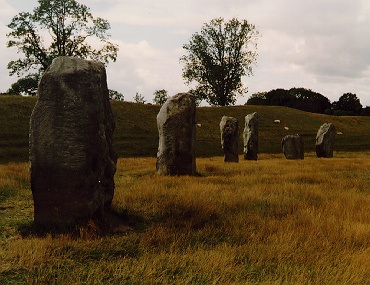 This is a shot looking along the northern rim of the mile long circumference of the Avebury stone circle complex near Marlborough, Wiltshire. Avebury is the largest stone circle of an earlier era of megalithic monuments to which Stanton Drew also belongs. |
This is me standing near a male type megalith in the Avebury stone circle complex. |
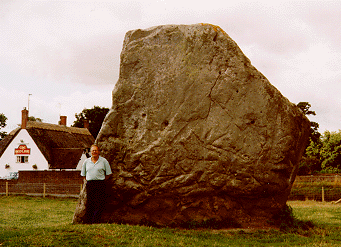 This is my friend Mike standing near a female type megalith. |
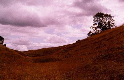 This is a view in the ditch surrounding Avebury. It was discovered that this ditch averaged about 9 meters in depth. |
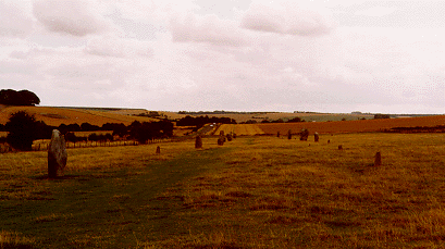 This is the eastern avenue of Avebury which leads to the wooden ring of the Sanctuary. |
| Rollrights |
|
This is a shot of the King's Men circle of the Rollright Stones complex near Rollright, Oxfordshire. It is said that it is impossible to count these stones twice and get the same number. They are also said to awaken and walk around the circle on the morning of the summer solstice. |
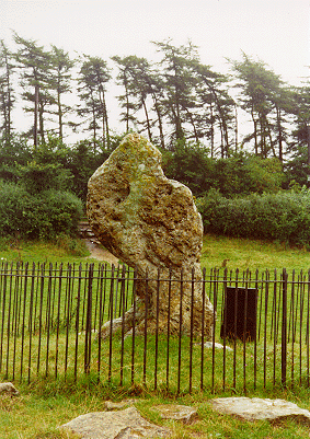 This is the King Stone, an outlier of the circle. It is said to turn its head when the cock crows on the summer solstice. |
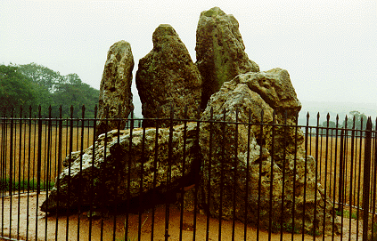 These are the Whispering Knights, a collapsed dolmen site, about half of a mile down the hill from the King's Men. |
| Silbury Hill/Unidentified Marlborough Barrow Field |
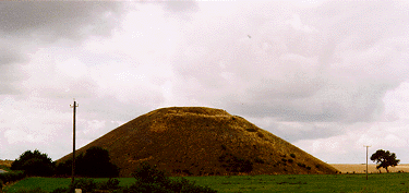 This is Silbury Hill, the largest man-made hill in the country, near Avebury. There have been found no skeletal remains in this mound, eventhough it looks like an overgrown barrow. The structure is a conical stair of chalk blocks covered in turf. The tree to the right gives the perspective of the size of this thing, over 100 feet high. From the top, one can see the West Kennet Long Barrow in the south. A rise on the horizon to the east blocks the view of the Avebury complex, and the East Kennet Long Barrow is lost to view as well. The Beckhampton barrow lies to the west. |
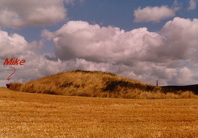 This is a shot of a beautiful and undisturbed barrow in the fields below the prehistoric Ridgeway on the Salisbury Plain near Marlborough, Wiltshire. My friend Mike is inspecting the western end and provides a good aid for measuring the scale of this monster barrow. This was the largest barrow of three unplowed barrows in a farmer's field. Cherhill Monument is peering up on the horizon to the right of the barrow. |
| Kent dolmen sites |
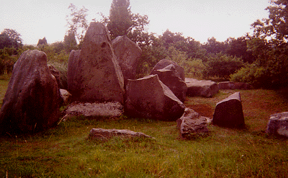 Coldrum Chambered tomb in Trottiscliffe, near Maidstone. A Medway chambered tomb. The east end of the facade has fallen down a terrace made from chalk digging. |
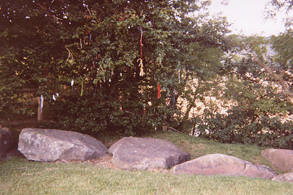 This is the north edge of the fallen peristalith stones, above which you can see the many years of ribbon offerings. In the Teddy pages, you will see that Teddy joined them for a photo op. |
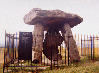 This is Kit's Coty House, and what the National Heritage has done to it. There is a long mound associated with this dolmen, but it is only visible from the air. There used to be more stones making a facade and a huge fallen stone at the end called the General's Stone. These were destroyed a few hundred years ago. |
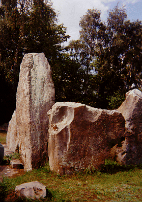 The Chestnuts, a chamber tomb on private property near Addington. It is very rectangular, a common shape for this area and time, and the sarsens were from local outcrops. Teddy posed for this shot. |
| Castelrigg |
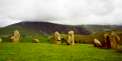 Castlerigg is a recumbent stone circle in Cumbria. These photos were given to me by a coworker. |
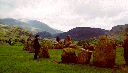 |

|
Tania Ruiz
is a member
of The Stone Circle Webring Click for the [ Next Page | Skip It | Next 5 ] Want to join The Stone Circle? Click here for info . |
|


