Sadgill, Harter Fell and Kentmere Reservoir 6th. April 2004
Overview
This route begins at the head of the lane passing North through
Green Quarter and takes in Gatesgarth Pass, Nan Bield Pass and the valley of
the River Kent. Parking is NOT at a premium here.
The walk itself varies from fairly gentle inclines starting at an altitude of about 250
metres to a more demanding 'trudge' to Harter Fell summit at around 770 metres. The weather
conditions can be as variable as the slopes, ranging from glorious
sunshine in the lower valleys to horizontal hailstones blowing across the tops.
Refreshment can be found in the nearby villages of Kentmere, Staveley or Ings.
Distance approx. 10 miles (5 hours).
|
|
The Walk
Beginning the walk at 465050, the entrance to Stile End, there is parking for about 4 vehicles in a small lay-by on the single-track road. Taking the signed, public footpath off the road in an Easterly direction, there is a gentle rise through farmland and open fields. On reaching the first ridge you are confronted by the steep slopes of Swinklebank Cragg and Borrowdale Moss. At the foot of the Fells is the valley of the River Sprint. Nestled therein are the buildings of Whirl Howe, Till's Hole and Sadgill.
Resuming the walk towards Gatesgarth Pass you will come to a metal gate where the path again splits. The path ahead leads down towards the shore of Haweswater, losing all the height advantage you have worked to gain. To your left is Adam Seat and to the right is Branstree and Selside Brow. Take the left path, skirting to the right of Adam Seat. You now climb a steepening, stony path directly to the summit of Harter Fell. |
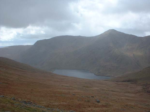
 Just prior to the top is the ideal time to take a further break whilst
still being afforded some shelter by the lee of the slope. A view can be gained of the
southern end of the Lake at this point.
Just prior to the top is the ideal time to take a further break whilst
still being afforded some shelter by the lee of the slope. A view can be gained of the
southern end of the Lake at this point.
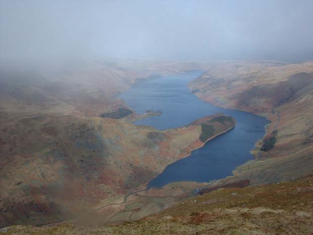
Pressing on now to the summit of Harter Fell (alt 772 metres) the effort is well worth the spectacular, almost aerial, view of Haweswater Reservoir. With Bampton Common in the far distance, there are the slopes of Whelter Crags and Mardale Common to the left and right respectively. |

 At this point the weather took a turn for the worse and the wind and hail battered across
the tops. Fortunately, if the bad weather is coming in from the North you've got a fair
amount of warning!
At this point the weather took a turn for the worse and the wind and hail battered across
the tops. Fortunately, if the bad weather is coming in from the North you've got a fair
amount of warning!
|
 Looking directly to your left, as you face the Reservoir, you see the rocky ridge of Nan Bield
Pass which goes away into the distance to join the long ridge of High Street through to Yoke.
Looking directly to your left, as you face the Reservoir, you see the rocky ridge of Nan Bield
Pass which goes away into the distance to join the long ridge of High Street through to Yoke.
|
 Continuing now along the track the valley of the River Kent opens out in front of you. Broad
and low with Yoke to your right and Kentmere Pike to your left, this is a lengthy but gentle end
to the walk.
Continuing now along the track the valley of the River Kent opens out in front of you. Broad
and low with Yoke to your right and Kentmere Pike to your left, this is a lengthy but gentle end
to the walk.
A gentle rise through Overend, Hallow Bank and Brockstones brings you back to your starting point. |


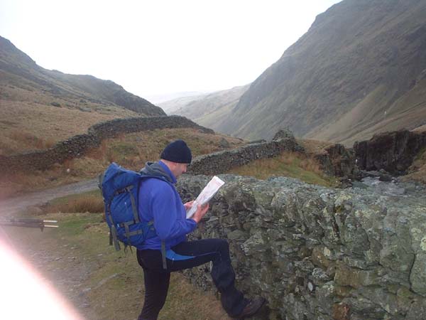
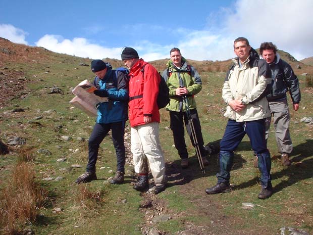
Checking the route |

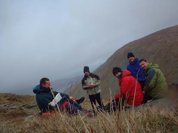
Some of the party |
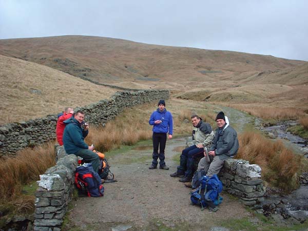
A welcome break |
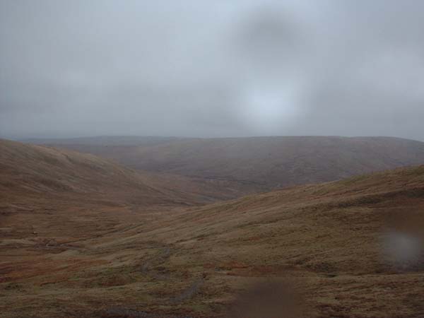
Before the summit |
Back along Gatesgarth Pass |
Taking a bearing |
Copyright © fogmeister.com 2004
![]()