White Bear Bay, Newfoundland 1999
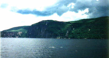
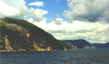
Even with pictures one can't grasp the beauty of this area of Newfoundland.
The Eastern Side of the Bay.
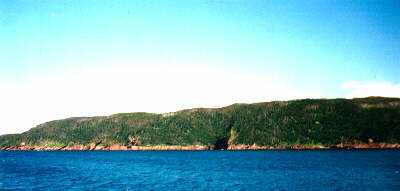
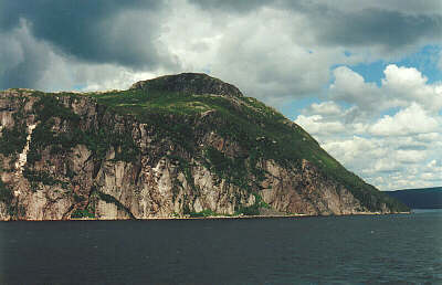
The Western Side of the Bay near it's mouth.
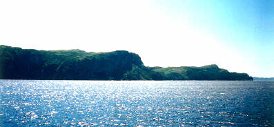
Looking East to Swior's Cove and Fox Island Harbour, way off in the distance, Grey River and Cape LaHune.
The above three photo's were taken by my son Stephen Crant
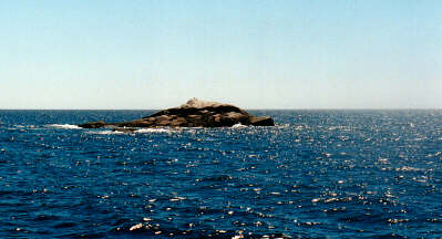
A Rock at the Western Entrance (about 1 mile) to White Bear Bay, seems to have a marker of sorts on the top, perhaps an old beacon.
Looking down the Western Shore of the Bay, around the first point is Cooper's Cove.
The Eastern Side of Deer Island, note the white rock formations on the cliffs, common throughout the Bay. Perhaps why it's named White Bear Bay?
Most of what is shown above was populated until the 1920's and some areas into the '50s and '60s. One doesn't have to imagine what our ancestors came to it is the same now as it was then.
Stay tuned more to come.
© Bill Crant, 1999.
This page hosted by Geocities