Maps & Directions (past, upcoming hikes)
General
Yahoo! Maps Unfortunately can be way off. For example, 219 Washington St, Wellesley.
Maps On Us Map My (limited) experience suggests this is slower, but less prone to errors.

Hiking
Blue Hills MDC map (with Bus #238 [Shea Rink], #240 [Chickatawbut Rd] stops)
Blue Hills map/directions (Donovan School pkg lot in Randolph)
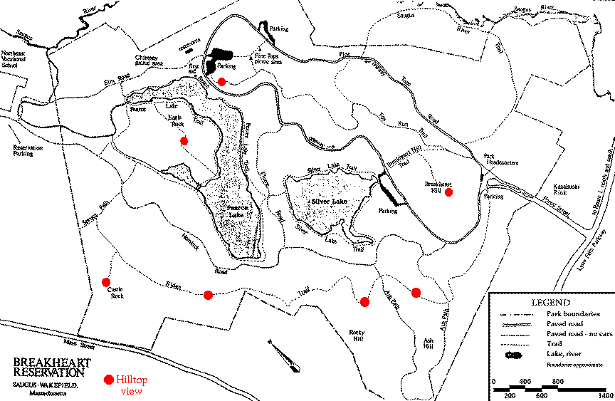
Breakheart map (hilltops with views shown in red)
Lincoln RR station map/directions (trailhead at end of commuter/mall parking lot)
Lynn Woods map
Middlesex Fells Flynn Ice Rink directions (clickable map)
Middlesex Fells Sheepfold map/directions (pkg lot near old soap box derby track)
Middlesex Fells Stone Zoo map/directions (clickable map)
Newton map/directions (Eliot T stop on Rte 9)
Oak Grove T Station map/directions (Washington St & Winter St, Malden)
Oak Grove T area map [USGS]
Stony Brook Reservation area map [USGS]
Wellesley Community Center (W.C.C. at 219 Washington St)
Wellesley High School
Wellesley Hills Station - the Framingham train departs South Station (Red Line) at 7:00 am (Sat), 8:00 am, 11:00 am, 12:35 pm (Sat & Sun) and arrives here 29 minutes later
| Return to
| 
|
