Desde Coquimbo por el sur y Carrizal Bajo por el norte, el recorrido fue sorprendente.
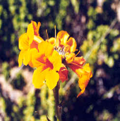
Panul. Coquimbo
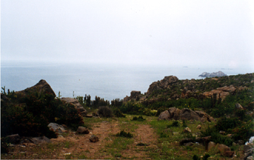
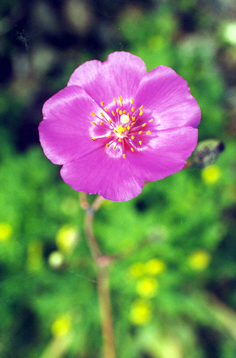
cerca de La Higuera
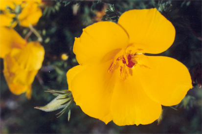
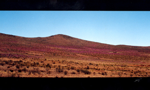
cuesta Buenos Aires
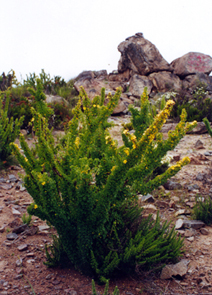
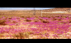
cerca de Cachiyuyo y Domeyko
VOLVER A LA PAGINA PRINCIPAL
CONTINUAR CON TRAYECTO HUASCO - CARRIZAL BAJO