Big Bend National Park TX
We left Mar 11 at 6 AM for Big Bend National Park
in West Texas. The Park is 800, 000 acres. The park lies in the Chihuahuan
Desert and includes the Rio Grande river and the Chisos Mountains.
Our first stop was to see the Davy Crocket
Monument in Ozona.
Then we saw Paisano Pete a giant roadrunner model in Ft Stockton.
We arrived at the Park entrance at 1300 and all
campgrounds and roadside camping was full. The park rangers are telling us
about backcountry zone camping and we pick a different zone of the park for
each night. Looks like we will get more hiking and backpacking than we
bargained for.
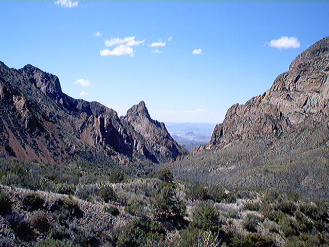
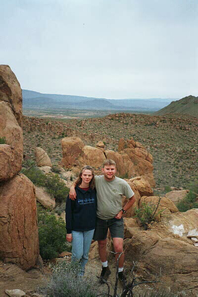
The window through the Chisos Mountains basin.
We completed the window trail.
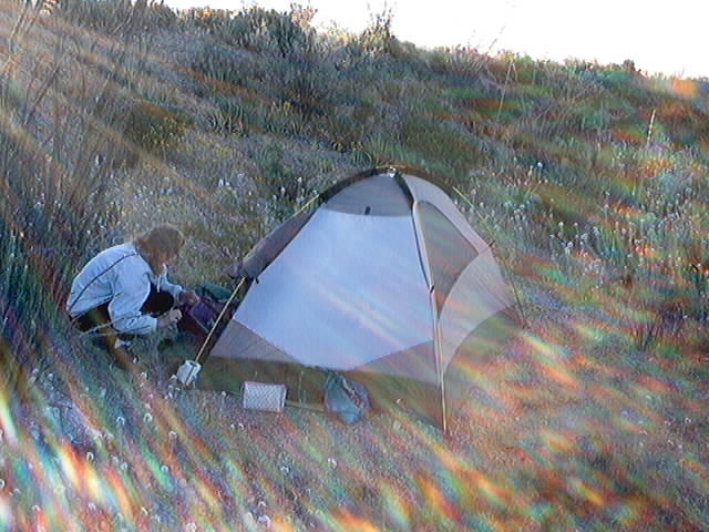
Our first night camping. Park rules for zone
camping are you must be over 1/2 mile from any road and not visible from any
road. 30 mins walk each way from truck through thick cactus and no trail.
saw roadrunner, kangaroo rat, quail, and jackrabbit. 3 trips made in near 80
degree temps. Luckily no rattlers or tarantulas spotted. Night very windy and cool.
Luckily no rain as we crossed many dry creeks to get there. Woke at 3:30 to
almost full moon. Coyotes howling and running loudly around us was
freaky. Stayed in tent until it finally warmed up at 0830. Never
got to use heater as it worked on the 12v marine battery in the truck.
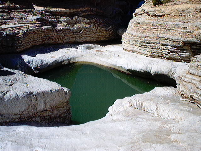
We packed out and hiked the Dugout Wells trail (1
mile). Then we drove 6 mi down a rocky 4x4 trail to Ernst Tinaja. A Tinaja
(Spanish for earthen jar) is where water is trapped in a bowl in the rocks.
The acid in the water eats through the rock and makes it deeper. The Tinaja
was named for Max Ernst who was a justice of the peace, notary, and county
commissioner in the area and was shot and died in 1908.
Next we hiked the Hot Springs trail. There was
a bathhouse, resort, and store there until 1942. There was people bathing
in the ruins of the bathhouse in the hot springs when we were there.
Next we hiked the Boquillas Canyon trail (1.4
miles)

Then we drove River road East 4x4 dirt trail to
our next campsite on Black Gap road near elephant tusk mountain.
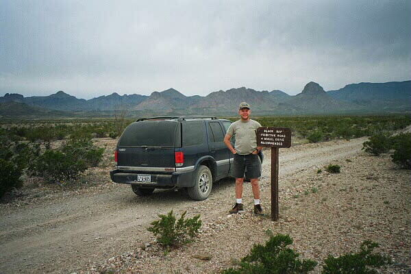
Black Gap Primitive Road, 4 wheel drive
recommended
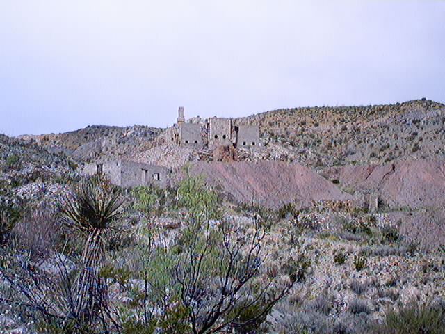
First we hiked the Mariscal MIne trail, it was a
Mercury mine in 1900-1923.
Then we hiked the Rio Grande Village trail and
saw this snake.
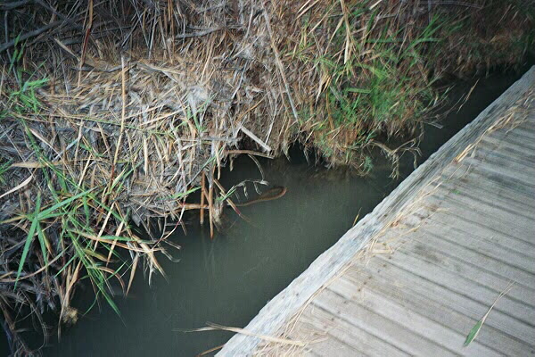
It is in the water but was very close to us
before we backed up and it retreated under the grass.
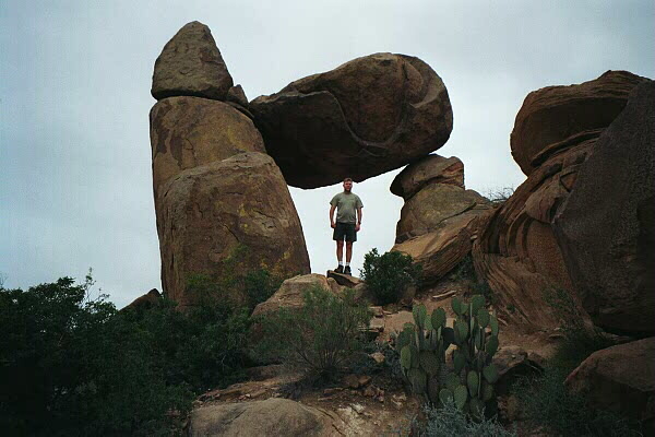
Next trail is Grapevine Hills (2.2 miles)
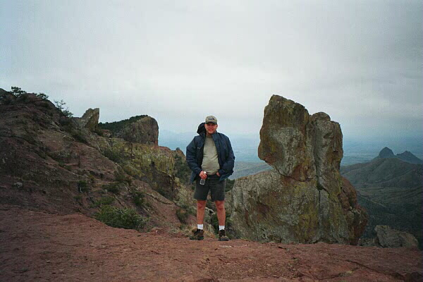
Next we completed the Lost Mine trail to the top
of a mountain (4.8 miles, 1300 feet elevation increase). We saw 3 bucks and 2
doe Mule Deer.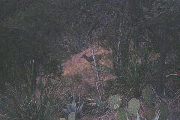
Very windy on the top. Smog from Mexico
reduces visibility.
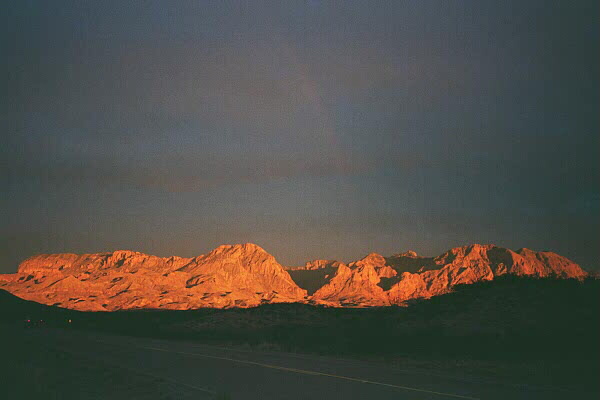
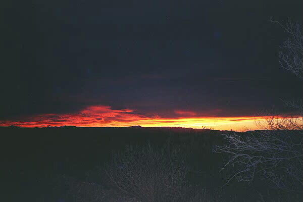
Then we went to the west side of the park to camp
off old maverick dirt road. It was dark by the time we went looking for a
campsite and that made it more challenging. We got a small amount of rain,
and finally got some pictures of the sunset and a faint rainbow.
The next day the digital camera was full and we
were out of film in the 35mm. We managed to buy some the next day at Castolon
an old army post. We paid a Mexican 2 dollars to row us across the Rio
Grande and we got some authentic Mexican food in Santa Elena Mexico and saw a
small dinosaur bone and fossil museum.
The 4th day we hiked through Santa Elena Canyon
(1.6 mi), Tuff Canyon (3/4 mile), and Burro Mesa Spring (2.2mi) then got home
about 9PM and went to work the next day.
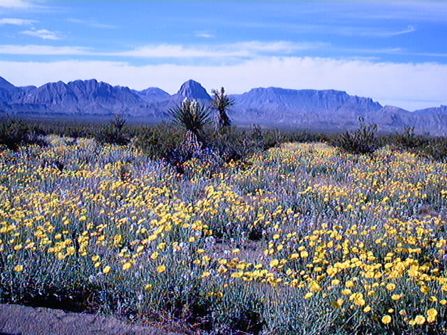
The wildflowers were in bloom when we were
there.
I took this from the truck traveling on river
road east.
Return to Home