Ancient maps
Ancient maps were found throughout Europe and Mesopotamia, in ancient libraries such as Alexandria and Nineveh.
Some of these maps also show great ice bridges between landmasses, as well as an ice-free Antarctica.
Features on these maps such as the Polar Regions free of ice and the presence of lost islands and land features make it possible that the authors of the ORIGINAL maps were of another era.
The continent of Antarctica was discovered in 1818.
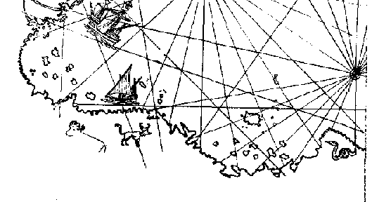
A map known as the 'Piri Reis' Map, shows the continent of Antarctica.
How could this have been possible if Antarctica was not discovered until 300 years later?
Antarctica was supposed to have been covered by ice for the last million or so years, but samples taken from sediments deep beneath Antarctica in 1949 revealed that great rivers had once flowed in Antarctica until about 6000 years ago.
______________
![]()