Dokdo Though the Ages in Maps
Historical maps show the perception of territory people had in a period of time in history. One of the earliest Japanese records on Ulleungdo and Dokdo is a document entitled, Onshu shicho goki,which was edited by Saito Hosen in the year 1667. This document has a well-known passage that states:
"Oki is in the middle of the North Sea, so it is called Okinoshima. Going further from there for two days and one night in the direction of northwest one reaches Matsushima. Also there is Takeshima at another day´s travel distance. These two islands are uninhabited and getting a sight from Koryo (Korea) from there is like viewing Oki (Island) from Onshu. Thus Oki island is the northwest boundary of Japan."
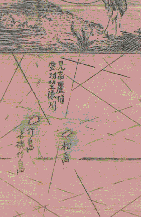
This quote is very important, maps of that era and even 150 years thereafter had part of it written next to the islands . The passage was often written in such a manner spanning both islands linking them as a pair. This supports the belief that Ulleungdo and Dokdo were often viewed as "sister islands." The Chinese characters ̸ÍÔŐňë˘ęŁń¶ŘĐëßń¶ translated means "viewing Koryo (Korea) from here is the same as viewing Shimane (Japan) from Oki Island." These characters can be seen on the following maps.
(David Rumsey Collection)
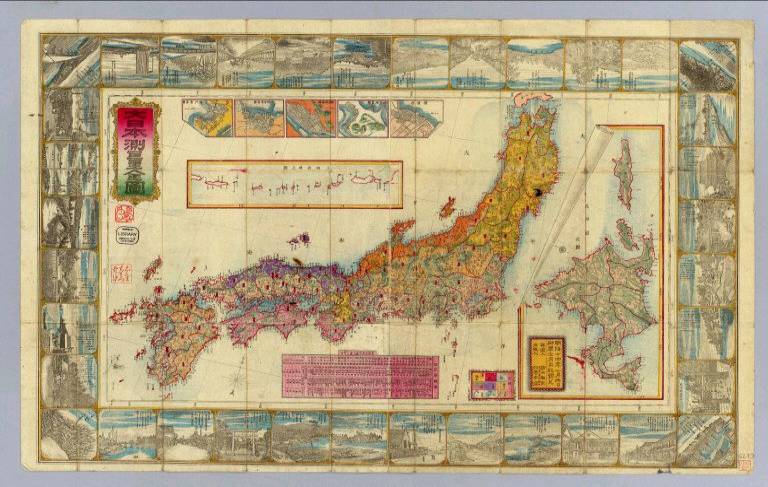
1835 Map by Matsumoto Yasuoki.
|

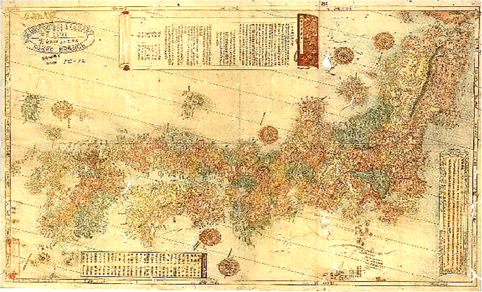
1872 Map by Uchida Shinai showing same characters.
|
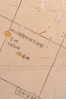
The script, "̸ÍÔŐňë˘ęŁń¶ŘĐëßń¶" again spans Ulleungdo and her "sister island" in this map.
|
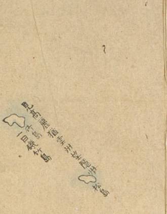
Yet again we see the text "viewing Koryo from here is the same as viewing Shimane from Oki Island."
|
The phrase not only suggests that Ulleungdo-Dokdo were inseparable, it also shows that Korea was perceived to have had a stronger bond to these islands than did Japan by using the comparative analogy of Ulleungdo-Dokdo/Korea and Oki Island/Shimane Japan.
Japanese Maps of the Nineteenth Century
During the late 19th century the maps began to change somewhat. The positions of the Ulleungdo and Dokdo drifted in a westward direction. This could be partly attributed to the influence of the inaccurate maps made by Western cartographers. As a general rule, Ulleungdo is positioned at around 130 degress and Dokdo around 131 degrees; also Ulleungdo and Dokdo are never far apart from each other on these maps. However, if Dokdo had always been Japan´s inherit possession as the Japanese Foreign Ministry so states, then European maps should have followed the names and location the Japanese gave to Dokdo, and not vice-versa. These errors will be dealt with later.
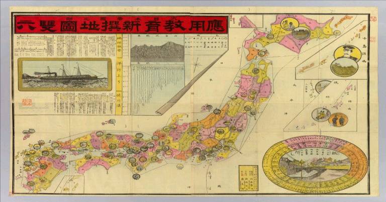
Japanese documents from around the mid-1870s seem to show the Meiji Government of Japan had little or no interest in both Ulleungdo and Dokdo. Not surprisingly, a large percentage of Japanese maps of this era fail to show Ulleungdo or Dokdo islands at all. Often cartographers opted to insert appended maps of other islands or simply filled this space with ornate drawings for visual appeal. A common practice was to curl up a corner of an appended map and insert the islands below. This would again suggest both islands were of no great importance and their inclusion on the map was almost an afterthought. In other words, as Japan´s perception of Dokdo changed, so did her maps.
What Happened to Dokdo in the 19th Century?
This 1891 Map by Sagano Hikotaro fails to show both Ulleungdo and Dokdo; instead it shows ornate drawings in lieu of Dokdo.
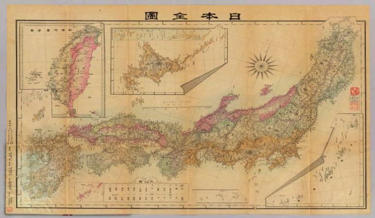
This 1899 Map by Nogiwa Kaoru omitted Takeshima (Dokdo) a mere five years before the islets were claimed by Japan.
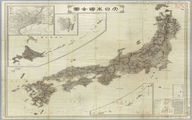
This 1881 Map by Maimusho Chirikyoku again omitted Ulleungdo and Dokdo Islands.
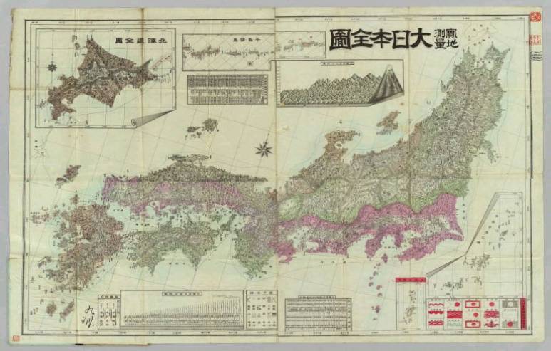
This 1893 Map of Japan by Izawa Komakichi also omits Dokdo.
1894 Map by Yamamoto Homeji. Again, no Dokdo.
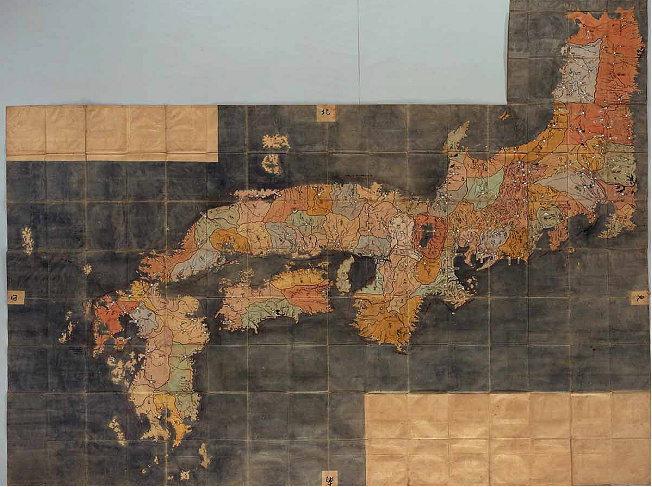
This Matsuzaki Hanzo map of 1881 shows no islands West of Oki Island.

An 1899 map by Nogiwa Kaoru shows many appended maps but does not include Dokdo or Ulleungdo.

In 1877 this Japanese map has Ulleungdo on an appended map of Korea but again no Dokdo Island.
An undated map of Japan also has no islands Northwest of Oki Island.
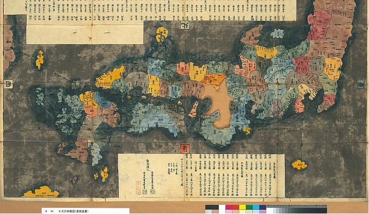
This 1836 map shows the character ÝÁ next to Oki. ItˇŻs clear this is the northern boundary of Japan.
Again there are no islands northwest of Oki on this map.
This Japanese map shows the character for North (ÝÁ) directly above Oki Islands.

1877 Mori Kinseki map without Dokdo or Ulleungdo

A 1946 map published by JapanˇŻs Geographical Department shows no islands West of Oki Islands.
An 1882 color-coded map shows Ulleungdo and Dokdo is not part of Japan.
In conclusion, Japanese maps both very old and more recent combined with historical documents show us a number of things: First, the Japanese of the mid 19th century showed a lack territorial perception with regard to the positioning and possession of Dokdo. This should not be misconstrued as omission. Japanese cartographers did to some extent follow the lead of Western mapmakers, but the Japanese were not under the spell of Siebold's error, nor did the Japanese suddenly forget the existence of Takeshima and invent a new fictitious island. It seems the Japanese understood that Dokdo and Ulleungdo were not Japanese territory.