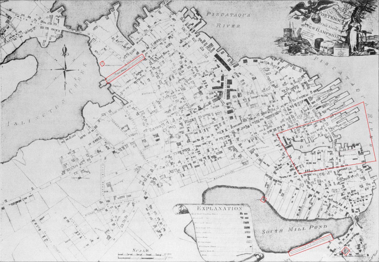
Outlined in red at upper left are the two Ropewalks and the site of a Powder House at the North Cemetery.
Outlined at lower right are the south Ropewalk and the State Arsenal.
Outlined at center right is the Strawbery Banke area.
Fort Anglesea is at lower center at the South Mill Pond.