Ohh... so That's it!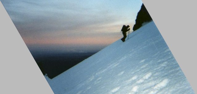 I didn't distort the last picture in any way. All I did was hold the camera at a 30 degree angle to account for the slope. Here, I rotated the picture back again and cropped it a little bit. Look at the horizon line, and you can tell that this is how it's supposed to look. It was around here that things started to get really difficult. Unfortunately, this isn't even the steepest part of the climb! Still an hour left before we got to the top. But the view was spectacular, even from this height. In the background, you can see the Portland area |