
National
Flag
|
|
|
||
|
|
|||
|
|
|||
|
National
Flag
|
|||
|
Basic
info. about Bhutan
|
|
Introduction: The Kingdom
of Bhutan is a landlocked and mountainous country in the Eastern Himalayan
region bordered by India in the south Bhutan is predominantly an agrarian country with 79% of the population still living in the rural areas and subsisting on an integrated livelihood system based on agricultural farming, livestock rearing and use of forest products - collectively known as the Renewable Natural Resource (RNR) sector. The RNR sector is the largest contributor to the Gross Domestic Product (GDP) in the country. It accounted for 32.7% of the total GDP in 2003. (RNR Statistics, Ministry of Agriculture, 2003)
Geographic coordinates: 27 30 N, 90 30 E Map references:
Asia Climate:
varies; tropical in southern plains; cool winters and hot summers in central
valleys; severe winters and cool summers in Himalayas Terrain:
mostly mountainous with some fertile valleys and savanna Elevation
extremes: Natural resources: timber, hydropower, gypsum, calcium carbide, talc etc |
|
|
Land use:
Irrigated land: 340 sq. km (1993 est.) |
|
|
Natural hazards: violent storms coming down from the Himalayas are the source of the country's name which translates as Land of the Thunder Dragon; frequent landslides during the rainy season, flash floods due to haevy rains etc. Environment
- current issues: soil erosion; limited access to potable water Geography - note: landlocked; strategic location between China and India; controls several key Himalayan mountain passes |
|
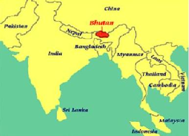 and the Tibetan Autonomous Region of China in the north and northwest.
It has a total land area of 38,394 square kilometers with projected population
of 716,424 in year 2002 . (Area
and population figure cited from the Statistical Year Book of Bhutan,
2002)
and the Tibetan Autonomous Region of China in the north and northwest.
It has a total land area of 38,394 square kilometers with projected population
of 716,424 in year 2002 . (Area
and population figure cited from the Statistical Year Book of Bhutan,
2002)