Slight
risk was in place over Illinois all day from the Storm Prediction Center.
I figured there would be severe weather in the area, but wasnt sure about
the tornado threat. I came home from class around 3:30 PM with a Severe
Thunderstorm Watch out for Illinois and Wisconsin until 9PM. One nasty
cell was dropping tornadoes near Decatur, IL, but that cell would pass
far to our west. Another cluster was located to our north...moving SE towards
us. I began watching it closely, figuring this would be our only chance
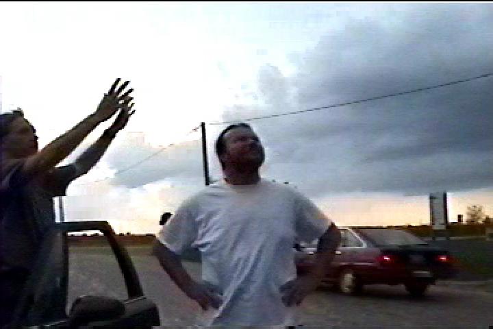
for the day. Around 6 PM we got a call from Ed Kieser asking if we were
chasing. Mike talked to him for a bit, and they decided to meet up at the
Big Foot Station off Interstate 74.
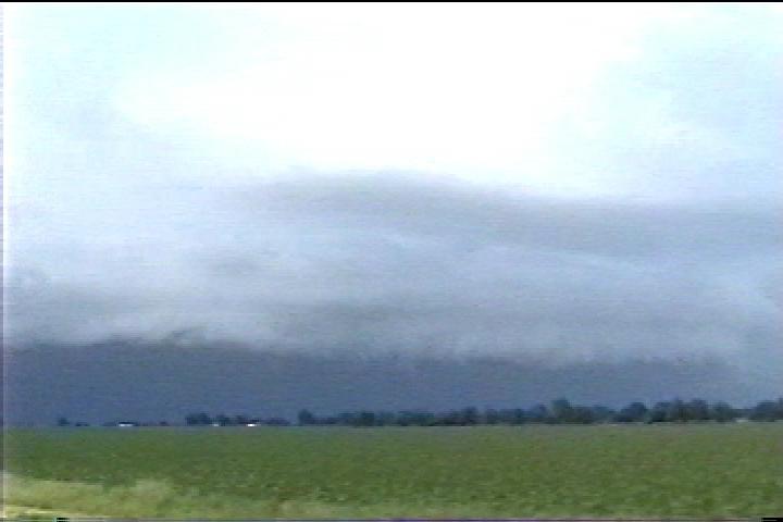
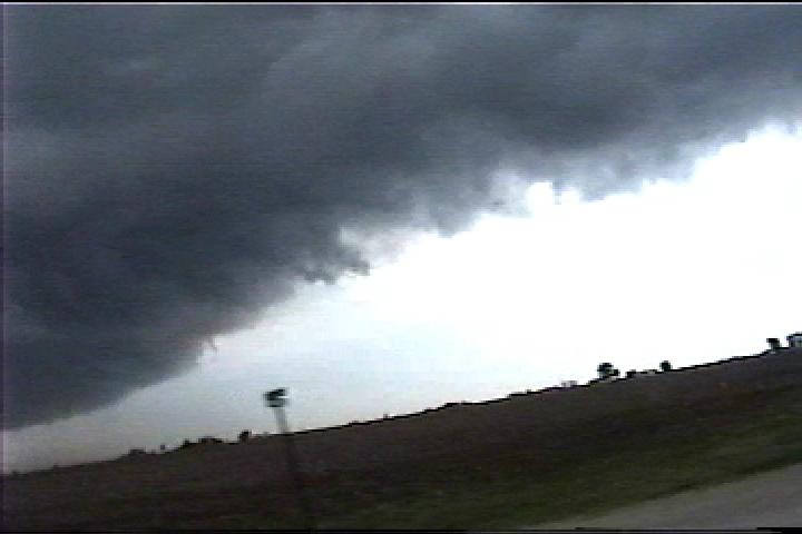
Upon
pulling in, the weather radio went off for a Severe Thunderstorm Warning
for Champaign and Vermillion County. I could almost see the shelf cloud
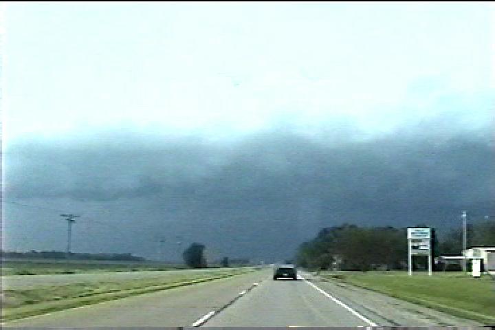
directly to our north. Soon Ed pulled in, and we headed north. Getting
about 5-10 miles north of Urbana on Route 51, we pulled off to have a look
at the sky. We looked around, and decided we weren't going to get any further
north, so we headed east. Drove for a while, until a Tornado Warning was
issued for Champaign and Vermillion Counties. A tornado was sighted on
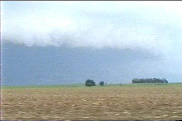
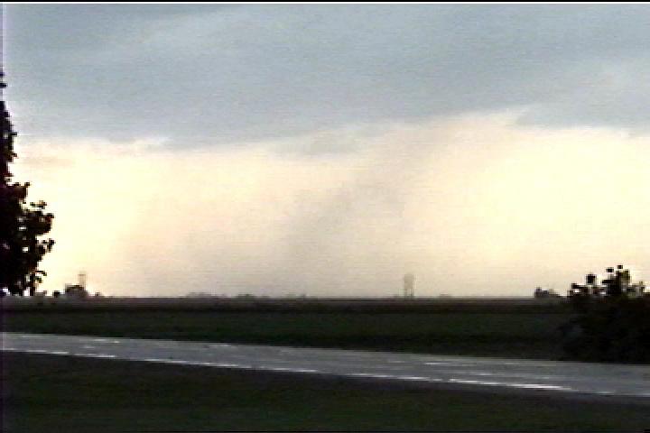
radar north of St. Joseph, IL. We pulled off again in Flatville, Illinois
for another look at the sky. Wasnt much at all to see, besides some grey
clouds and heavy precip. We proceeded back south to keep ahead of the precip
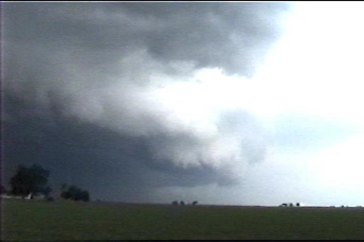
before the radio reported another possible tornado near Ogden, IL. Since
were somewhat near Ogden, we pulled off for a short while to have a look
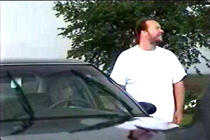
east. Nothing. We pulled off once more in St. Joseph and called it quits.
Sat looking east at the cell as spotters reported a tornado near Georgetown...very
far to our SE. Got a nice sunset on the drive home. Fun chase, though we
saw no tornadoes. The shelf cloud was great, but I was really glad to get
out chasing with Ed.
Total
Chase Time: 1-1 1/2 hours
Total
Chase Distance: 40 Miles |