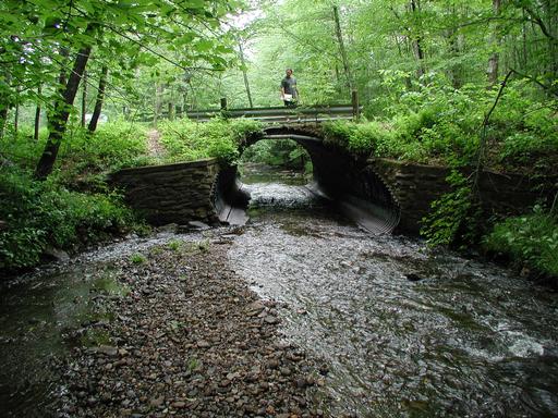
Old Turnpike Road Bridge. Looking Upstream.
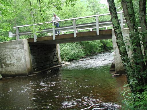
Old Turnpike Road Bridge. Upstream, east corner possible transducer location.
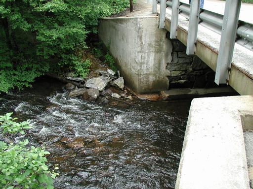
Old Turnpike Road Bridge. Upstream, east corner possible transducer location.
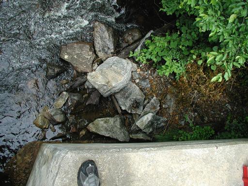
Old Turnpike Road Bridge. Looking upstream.
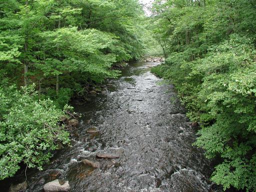
Pilfershire Road Bridge. Looking downstream.
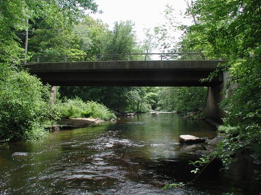
Pilfershire Road Bridge. Sediment on east bank.
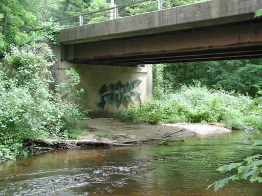
Pilfershire Road Bridge. Looking downstream at west wall. Note the stairstepped sides under water.
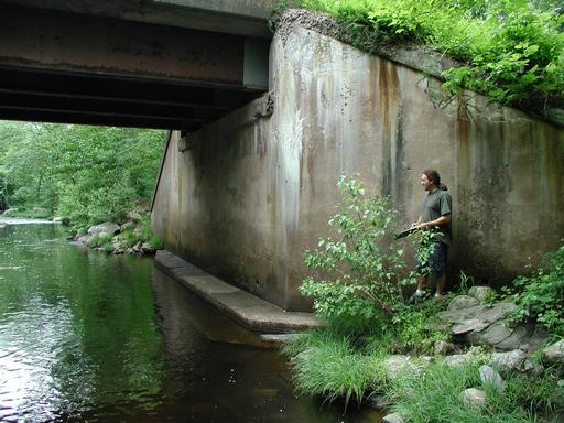
Pilfershire Road Bridge. Pilfershire Road Bridge. Looking downstream at west wall.
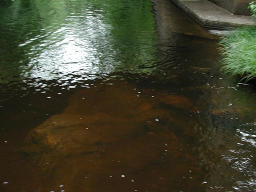
Pilfershire Road Bridge. Pilfershire Road Bridge. Looking upstream at east wall sediment.
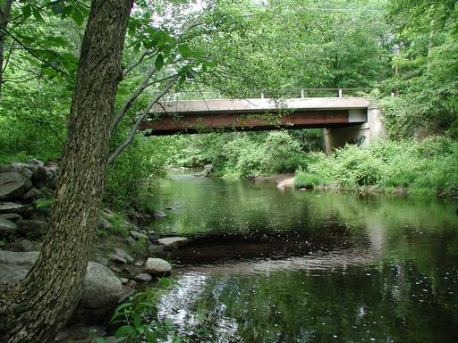
Waterfall Road North Bridge. Looking Downstream at inlet.
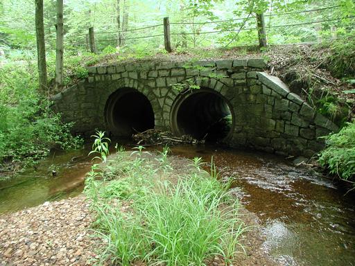
Waterfall Road South Bridge. South Side Looking Upstream.
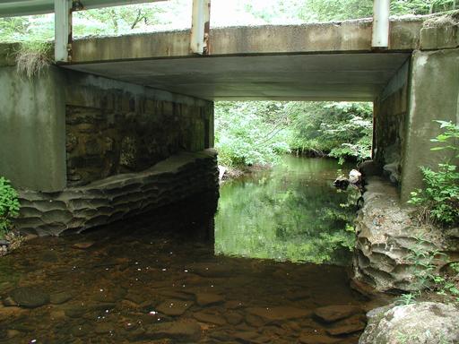
Waterfall Road South Bridge. North side facing east.
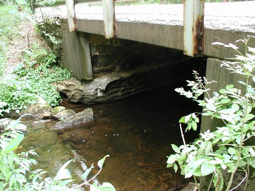
244 Bridge. (Still River) Outlet.
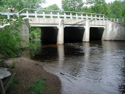
244 Bridge. (Still River) Inlet.
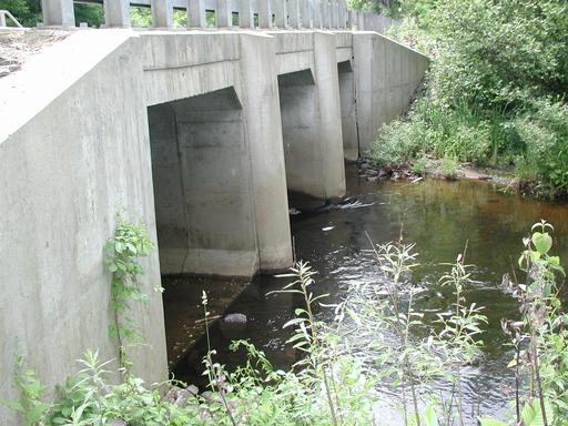
44 Bridge. (Bigelow Brook) Facing upstream.
89(Turnpike Road) Bridge. Upstream beaver dam.
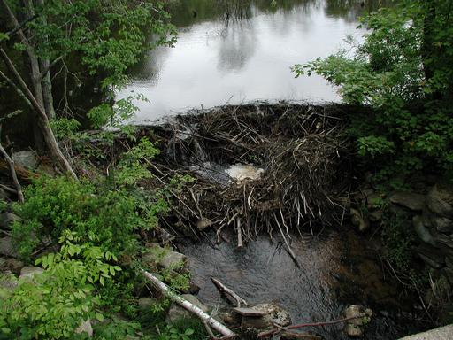
89(Turnpike Road) Bridge. Looking upstream through the bridge.
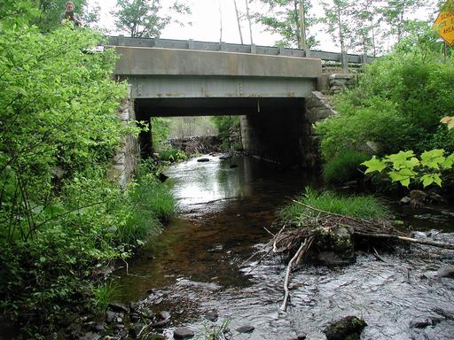
89(Turnpike Road) Bridge. Looking downstream through the bridge.
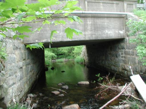
89(Turnpike Road) Bridge. Upstream beaver dam.
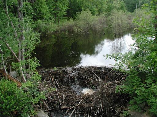
89(Turnpike Road) Bridge. Upstream debris.
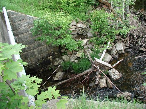
Boston Hollow Brook. Looking upstream.
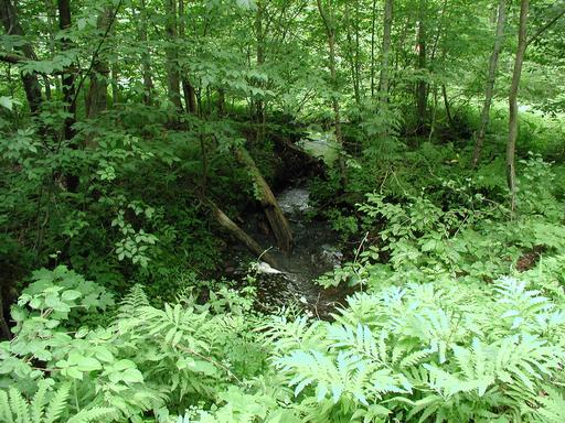
Boston Hollow Brook. Outlet.
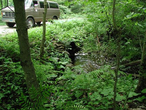
Floeing Road Bridge. Looking upstream at outlet.
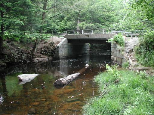
Floeing Road Bridge. Looking downstream at inlet.
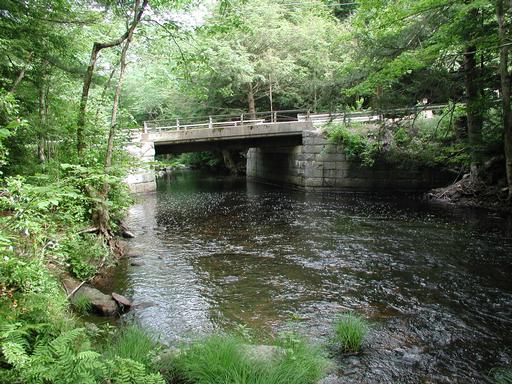
Oakes Road Bridge. Looking at outlet.
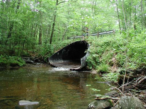
Oakes Road Bridge. Looking downstream through inlet.