On the left is just some of the scenary you'll see. You ascend, then descend into the valley. But along the way you get to see beautiful, breathtaking sites along the far eastern side of the island.
| My Trip to Moloka`i | ||||||||||||||||
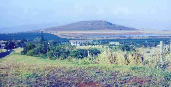
| Although my trip to Hawai`i was a bit overcast, especially while back on Moloka`i, I managed to get some pretty good pictures. This picture is looking down upon the town of Kualapu`u which was once a busy town due to the plantation. Del Monte phased out in the early 80s. This is where I grew up. The mountain in the background is what the town was named for. The original name, Ka Uala Pu`u (Sweet Potato Hill) is where sweet potato was grown. The resevoir next to it is the largest, man-made rubber-lined reservoir in the world. At least according to the Guiness Book of World Records. The water has dropped tremendously since back when things were alot busier. Because of El Nińo, you'll see a lot of the landscape of the island very, very dry. The greenery that you see near the reservoir was once covered with pineapples all the way up to where I'm standing taking this picture. Now the town is so quiet. I think I remember reading the signs as saying the population of the town at 500. I could be wrong. If it weren't so hazy, you'd be able to see Maunaloa much clearer in the far background behind the hill. | ||||||||||||||||
|
||||||||||||||||
|
||||||||||||||||
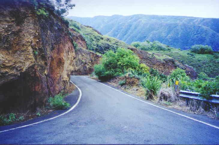
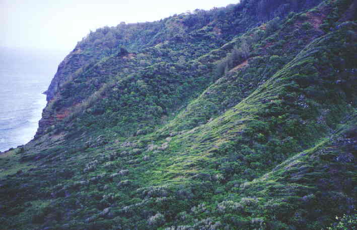
| This is the road on the way to Halawa Valley on the far east, north-eastern side of the island. | ||||||||||||||||
|
||||||||||||||||
|
||||||||||||||||
| The road to Halawa is over 27 miles long, but because it is so narrow & such a winding road, it takes awhile to get there. I mention 27 miles because I stopped counting after the 27th mile marker. I think it's 30 - 36. I know I'm not exactly right, but like I said, it is MORE than 27 miles from the main town of Kaunakakai. On the left is just some of the scenary you'll see. You ascend, then descend into the valley. But along the way you get to see beautiful, breathtaking sites along the far eastern side of the island. |
||||||||||||||||