
These are some of the photos from various chases over the last year or so. All rights strictly reserved.
 my oldest surviving
storm photo (1986)
my oldest surviving
storm photo (1986)
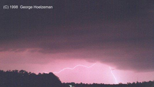 lightning near Maumelle,
Arkansas (1998)
lightning near Maumelle,
Arkansas (1998)
 another nice blitz
near Cleveland, Arkansas
another nice blitz
near Cleveland, Arkansas
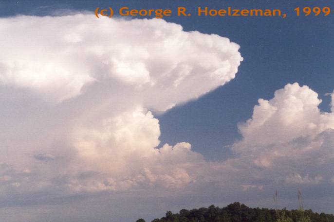
 severe T-storm over
Macon, Arkansas (see chase account)
severe T-storm over
Macon, Arkansas (see chase account)
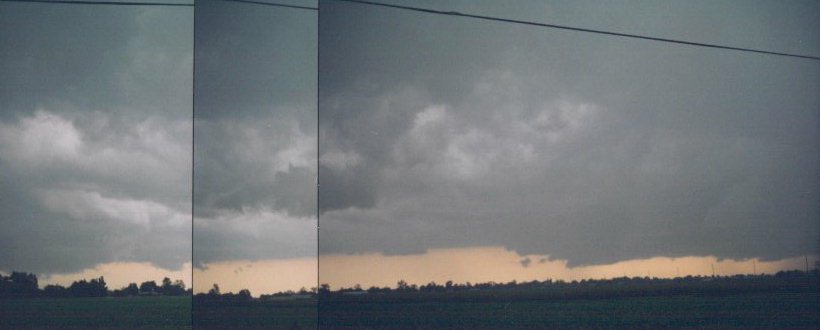 Tornadic cell in
Missouri (another chase account)
Tornadic cell in
Missouri (another chase account)
 scud after the Yeager/Wewoka
Tornado, Oklahoma (8 June 1998)
scud after the Yeager/Wewoka
Tornado, Oklahoma (8 June 1998)
 very photogenic shelf
and gust front, Little Rock, AR. (1998)
very photogenic shelf
and gust front, Little Rock, AR. (1998)
 Scott Blair/Jeff
Crum w/severe gust front, Marked Tree, AR (1999)
Scott Blair/Jeff
Crum w/severe gust front, Marked Tree, AR (1999)
 65mph winds kicking
up dust on gust front (same storm)
65mph winds kicking
up dust on gust front (same storm)
 Boiling shelf cloud moving over Conway, Arkansas.
 Gust front with some nice striations near I-40 in Conway, AR.
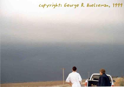
 Backsheared anvil south of Little Rock as viewed from Cleveland, Arkansas.
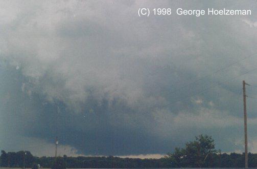
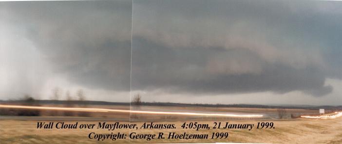 huge wall cloud
over Mayflower, AR (21 Jan.1999)
huge wall cloud
over Mayflower, AR (21 Jan.1999)
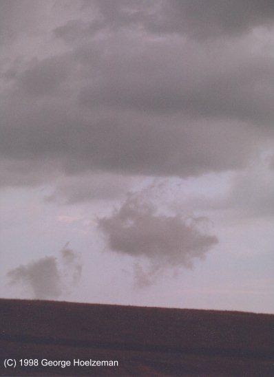
 Is this a funnel cloud over Mayflower? hmmm...
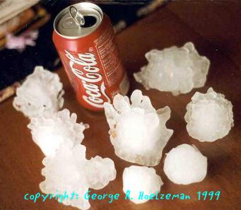 hail - Jan. 21 outbreak,
Marche, Arkansas (thanks to Dennis Moix)
hail - Jan. 21 outbreak,
Marche, Arkansas (thanks to Dennis Moix)
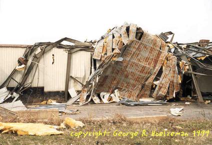
 barn destroyed
near Galloway (21 Jan Outbreak)
barn destroyed
near Galloway (21 Jan Outbreak)
 Quapaw Quarter
home - note the plywood in the tree.
Quapaw Quarter
home - note the plywood in the tree.
 warehouse destroyed
in eastern Little Rock - note steel I-beams (left)
warehouse destroyed
in eastern Little Rock - note steel I-beams (left)
 sunset over our
future home near Cleveland, Arkansas (1999)
sunset over our
future home near Cleveland, Arkansas (1999)
Keep watching - there will be more pictures and links in the very near future!