 The path to the trail head I chose took me through the Santa Teresa Golf Club. |
11:30 a.m. A ride on the VTA Light Rail from downtown San Jose to the Santa Teresa Station.  |
|
|
The path to the trail head I chose took me through the Santa Teresa Golf Club. |
11:30 a.m. A ride on the VTA Light Rail from downtown San Jose to the Santa Teresa Station. |
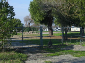 The trail head actually began on the other side of the fence a short walk from Avenida Espana. |
...There was a slight problem with this route....it leads to a locked gate. 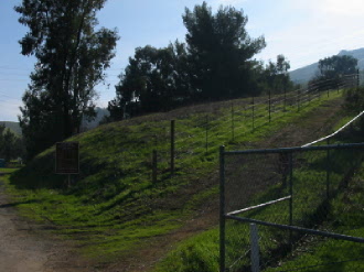 |
  About a mile into the trail, the path forks in two directions. The path to the left is shorter but a steeper climb.   |
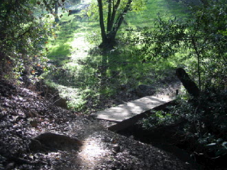
The trail begins uphill toward a small bridge crossing the Coyote Alamitos Canal. The vertical rise from here to the peak is about 1155 feet.  A small foot bridge crosses the canal. 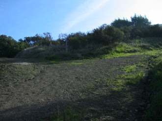 A signpost at the fork marks the distance remaining to the peak.  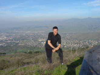 2:30 p.m. The community of Santa Teresa in the background. |