Through the process of collecting and analyzing data I feel that there is not an appropriate place to put Carbon Hill High School. The criteria set by the Walker County Board of Education and myself could not be met. The process and results of this project will be discussed in greater detail in the following paper.
Introduction
“Carbon Hill, settled in 1886 because of coal mining and the railroad, is joined today by
manufacturing and agriculture industries. The population today is approximately 2,115” (Author Unknown
A, 2002). Carbon Hill is 12.494 km2 (Author Unknown E, 2002). On June 27, 2002 Carbon Hill High
School burned (Burroughs (C), 2002). An electric fire caused the school to burn (Norwood, 2002).
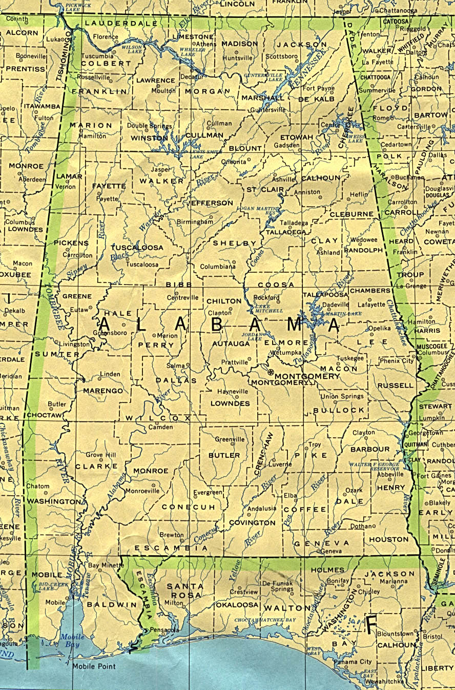
Carbon Hill is in Walker County, Al. It is north west of Jasper. Carbon Hill is located at 33.89ºN latitude
and 87.52ºW longitude (Author Unknown E, 2002). Carbon Hill High School had sat on the hill for sixty-six
years (Burroughs (A), 2002). The high school’s football field was built by the WPA (Author Unknown C,
2002). Carbon Hill is was a small one story school. The school has an enrollment of about 400 students
(Author Unknown B, 2002).
The students of Carbon Hill High School now attend school at Carbon Hill Elementary-Junior High School (Burroughs (A), 2002). A campus consisting of mobile units was set up for the students. (The students in the Walker County School system have to wear uniforms. The students at Carbon Hill High School had their uniform shirts embroidered with “Trailer Park High School”). “…other school systems are donating some of their unneeded textbooks” (Burroughs (C), 2002). Many schools, teachers, individuals, and school systems donated items to set up the temporary school (Burroughs (C), 2002).
The citizens of Carbon Hill want the school back on the hill where it was been for sixty-six years. The Walker County Board of Education wants to find a new site for the school. “One of the concerns for building the new school on the original site that has been raised was the presence of mines under the grounds of the school site” (Burroughs (A), 2002). “ ‘ There was evidence also that the roof of the mine, what I’m calling the roof is the rock that overlies the mine, there was evidence there was cracks and voids in the roof rock. The rock itself is actually crumbling and in some instances, as we penetrated to the mine floor, there was evidence of rubble on the mine floor,’ Been (David Been with Gallett and Associates) said” (Burroughs (B), 2002). The cost to make the former site suitable would be approximately three million dollars (Burroughs (A), 2002).
The following criteria were set by the Walker County Board of Education and myself:
1. The Board of Education said the new high school must be in the city limits of Carbon Hill (Sanford, 2002)2. The Board of Education said the new site must be 20 acres, preferably 40 acres (Sanford, 2002).
3. The Board of Education would like the new site to be near the former site to access the athletic facilities (Burroughs (B), 2002).
4. The new site must not be on top of an underground mine.
5. The building must be 150,000 ft2 (Walker County Board of Education).
6. The new site must have access to utilities.
7. The area needs to be relatively flat.
8. The new site must be away from the railroad tracks.
9. The new site must not be on a stream, river, lake, pond, etc.
10. The new site must not be within 500ft. of a surface mine.
11. The school must be in an appropriate zone. (The Walker County engineer via a Southern Company employee said that Carbon Hill is not zoned).
Primary question: Where to build the new Carbon Hill High School?
Secondary questions included:
How far should you build away from a mine? 500ft.
Can you build on an abandoned reclaimed mine? You can build on an
abandoned reclaimed mine if it has been reclaimed for more than
ten years, says a Southern Company Employee.
Data was acquired from a variety of sources including:
1. Alabama Surface Mining Commission provided layers such as: roads, hydrology, abandoned surface mines, current surface mines, surface mine boundaries, Carbon Hill boundary, and railroad.
2. Data Depot provided a Digital Elevation Model
3. Alabama Department of Industrial Relations provided a map of underground mines and points of underground mine subsidence.
4. The Walker County Mapping Department provided two air photos.
5. GIS Department of Southern Company provided such layers as cemeteries, churches, historical points, summits (high points in Carbon Hill), Township and Range layer, and schools.
6. State of Alabama Geologic Survey provided a digital topographic map.
The data was downloaded into my personal folder. The digital elevation model was downloaded from Data Depot. The DEM was then unzipped and converted. The digital topographic map was downloaded from the State of Alabama Geologic Survey. The topographic map was unzipped. The projections were changed to UTM NAD 83 Zone 16N. The data was then added to ArcMap.
The map from the Alabama Department of Industrial Relation in conjunction with the Township and Range layer was heads-up digitized. The new layers digitized from this map were underground mine subsidence and the city limits. The map below shows the digitized layers. The red line is the city limits and the brown circles are the subsidence area. An employee with Southern Company told me that a surface mine could not mine within 500ft of a school, road, or building. The current mine boundaries layer and the underground mine subsidence layer were buffered at 700ft (200ft given as a safety measure). Here is the scanned map of the underground mines from the Department of Industrial Relations. The black areas are the major underground mines.
Possible Locations
Once the surface mine boundaries and the areas of subsidence had been buffered the majority of the city was covered by a buffered area. Three possible sites with about twenty or more acres were left. The first site is to the east of the city. The second is to the north of the city. The third is to the west of the city. Site one has water features and it is close or on top of an underground mine. Site one is not close to the former site, it is also close to an underground mine, and it also has water on the site. Site two has water features, the land is not flat is some areas, and there is a highway going through this site. Site two is not close to the former site. Site three is the closest to the former site. Site three is near an underground mine and an intermittent stream passes through this site. An intermittent stream is “a channel of water or stream which does not flow continuously during the entire calendar year” (Author Unknown D, 2002).
Analyzing the given data and the
other information collected I feel that there is not an appropriate place to
build the new high school. The
limiting criteria is the mine criteria. For
safety reasons I do not feel like this criteria could be loosened.
The possible alternatives would be to fill the mine or build the school
outside the city limits.
Author Unknown A. 2002. “Carbon Hill, Alabama.” Retrieved October 14, 2002, from
World Wide Web: http://server2.walkerwe.net/towns/carbonhill.htm
Author Unknown B. 2002. “Carbon Hill High School.” Retrieved October 14, 2002,
from World Wide Web: http://www.walkercountyschools.com/chhs/
Author Unknown C. 2002. “Crowd at Night Football Game.” Retrieved October 14,
2002, from World Wide Web: http://newdeal.feri.org/library/107.htm
Author Unknown D. 2002. “Definitions.” Retrieved October 21, 2002, from World
Wide Web: http://wwwnwc.cog.co.us/documents/mwqps_defs.doc
Author Unknown E. 2002. “Statistics and Facts.” Retrieved October 14,2002, from
World Wide Web: http://www.pe.net/~rksnow/alcountycarbonhill.htm
Burroughs, Chris (A). “CH council meeting with BOE.” Daily Mountain Eagle August
8, 2002, 29 September 2002 <
http://www2.mountaineagle.com/NF/omf/eagle/news_story.html?[rkey=0018185+[cr=gdn >.
Burroughs, Chris (B). “Forum addresses rebuilding.” Daily Mountain Eagle. September
5, 2002, 29 September 2002 <
http://www2.mountaineagle.com/NF/omf/eagle/news_story.html?[rkey=0018428+[cr=gdn >.
Burroughs, Chris (C). “Work continues at Carbon Hill Campus.” Daily Mountain Eagle
July 23, 2002. 29 September 2002 <
http://www2.mountaineagle.com/NF/omf/eagle/news_story.html?[rkey=0018044+[cr=gdn >.
Map of Alabama. Retrieved from World Wide Web:
http://www.lib.utexas.edu/maps/united_states/alabama_90.jpg
Map of Walker County. Retrieved from World Wide Web:
http://server2.walkerweb.net/towns/carbonhill.htm
Norwood, S. 2002. “Carbon Hill High.” Retrieved October 14,2002, from World
Wide Web: http://www.wiat.com/localnews/MGBS0HLQH3D.html
Sanford, Susan M. “Some citizens unhappy with board decision.” Daily Mountain Eagle
September 16, 2002. 29 September 2002 <
http://www2.mountaineagle.com/NF/omf/eagle/news_story.html?[rkey=0018535+[cr=gdn
Last
updated on September 16, 2003 by Jackie Grace.