The history behind maps...
No one knows for certainwho made the first map or what those maps looked like, but we know that humans have been making maps for thousands of years. Scratched into sand, painted on animal skins, carved into wood, maps helped people avoid danger, find good hunting grounds, and locate clean water. The ancient Egyptians even supplied maps to tax collectors to help them along their routes.
More than 2,000 years ago, Europeans were drawing maps to help them navigate at sea. Called charts, these maps of waterways were drawn on skins and stones, carved in wood, or engraved in clay -- in much the same way land maps were made.
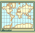
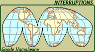
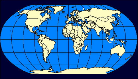
Projections:
Since it is not very easy to carry a globe around in one's pocket, standard map projections are created to represent the geographic grid as accurately as possible on flat surfaces. In inventing projections, mapmakers have four major concerns:
- area (the size of land and water areas in relationship to each other
- direction (north, south, east and west compared with their true location
on the geographic grid
- distance (the distance on a map relative to the earth's surface, called scale
- shape (the shape of the land and water areas compared with their shape
on the earth or a globe.
|


