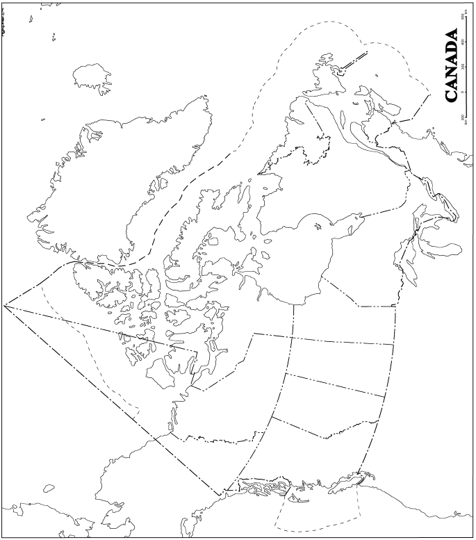
| Above is a full page (8.5" x 11") map of Canada. To cut this map into puzzle pieces, cut each province or territory along its border. Do not forget to separate the maritime provinces, and make sure you include the islands along the coast of British Columbia when you are cutting out B.C. Further, if you wish to make the map harder to put back together, create smaller pieces out of the islands belonging to Nunavut and the Northwest Territories. Once you have decided on the number of pieces each puzzle will contain photocopy these pieces onto 3-4 sheets of paper, then make enough copies for the entire class. Try to scramble the provinces and territories up on the photocopies so that students need to consult the atlas to find the exact placement of each province/territory, etc. I find that they pay more attention to the detail of the provinces/territories when they are required to map together, as opposed to being given a map of Canada and merely asked to label the provinces and capitals with the aid of an atlas. |

