March 30--Supercell from Norman
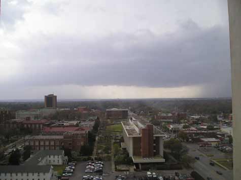
On 30 March, a line of scattered supercells formed along a dryline in western Oklahoma. One cell headed directly for Norman, but lost most of its organization before getting here as cells to the south cut off its inflow. Nevertheless, there was some supercell structure visible. One tornado occurred with the supercell well SW of Norman, before inflow quality was diminished. A few hours later, two cells to the south merged, and a nice updraft was visible.
|

|
 |
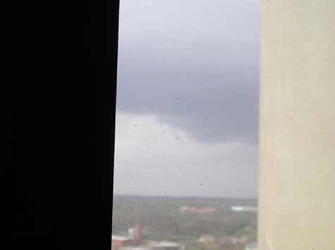
Rain core in the advancing storm. | Visual observation of the storm's hook echo (rain wrapping around the updraft). |
 |
|
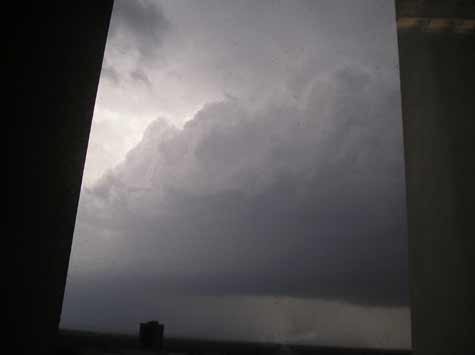
Wall cloud forms just west of Norman. | The main updraft comes over. |
 |
 |
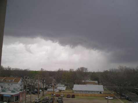
Base of weakening storm over Norman. | Anvil and updraft of a southern storm a few hours later. |