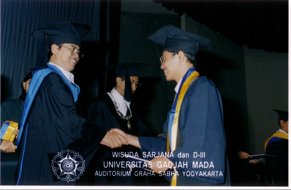
My Photo Gallery
Our experiences using spatial information technology & computer provide we with a greater understanding & implementing of Conservation/Landuse Planning using GIS & remote sensing. Common GIS & remote sensing software for planning, both raster and vector, are Autocad, ArcView3D, Intergraph Geomedia, ArcGIS, ENVI, Ermapper, Mapinfo,etc.
This site was last updated 03/23/04


