|
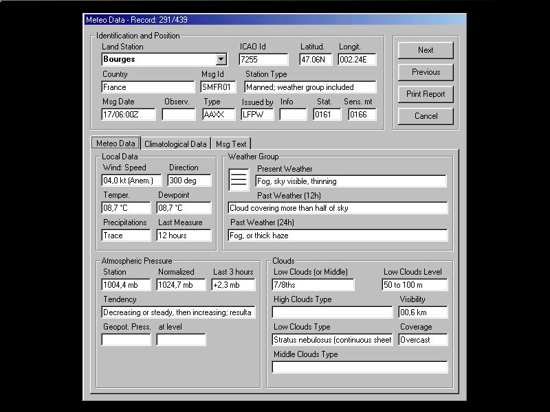
WeatherDecode is a program for decoding of (SURFACE DATA) AAXX, BBXX
(FM-12), Metar, Speci, TAF and ASUS1 (Fronts) Meteo messages.
These types of messages contain Land and Sea observations and they are
transmitted from many Meteo Offices in the world. They come picked in Archives
on net, and can be downloaded on Internet (FTP).
The meteo data contained in these messages are many and very interesting, this
program allows the visualization of these data in all their forms, graphics and
not.
In the Meteo Archives the data is freshen around each 2 hours.
The program allows the data conversion to homogeneous Units in order to
perform cross checks.
Are either available 5 configurable Meteo Images (downloaded on
Internet).
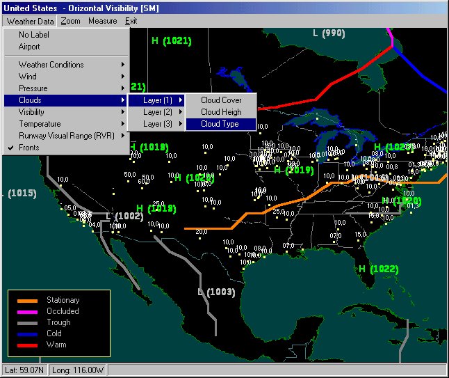
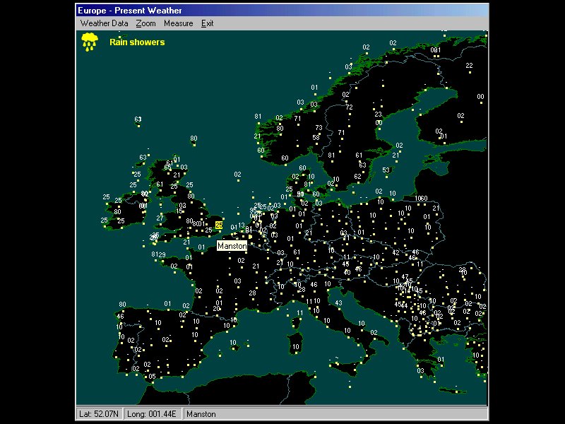
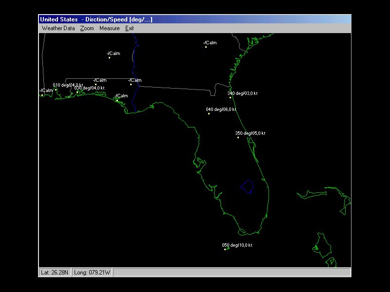
The decoded data:
- could be consulted on
Geographical Map (with digital Zoom function);
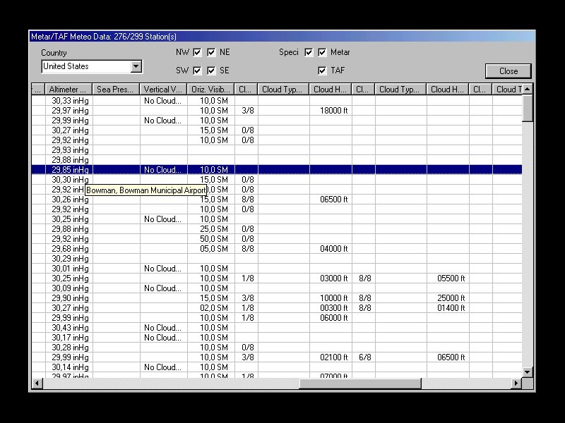
- could be consulted on Single Sheet;
- could be consulted on Global View;
- they could be printed on
Report.
- could be exported on Excel
Sheet (csv File)
The Zoom function present on the geography, generates a Digital Map
where the details level could be some kilometers.
It
is now possible to activate
up to 8 schedules in which the program is connected up to 4
addresses (Http, Ftp or inside Directory x:\bbbb\aaaa) and from
which download (or copy) all the files that are not had already
downloaded.
It’s
also possible to enable automatic decodes
of the unloaded files. If
the decoding is enabled the program build an .csv Excel compatible file.
Conctact WeatherDecode
Author
|
Download
Page
|

 WeatherDecode
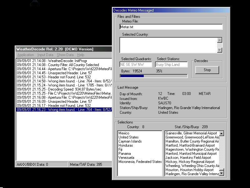