Trail to
FINCH LAKE
(click on any of the small pics to see the full size image)
![]()
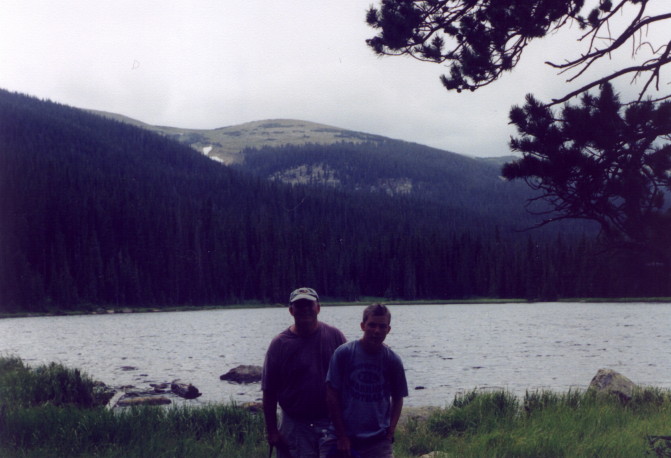
We did this as a last minute hike in '01. It had looked like it was ready to rain all day so we held off on hiking. It finally cleared in the afternoon and Andy, Mike and I decided we wanted to get a hike in. We checked the map looking for something we hadn't done before and something that wasn't too long. We settled on the ten mile round trip to Finch Lake.
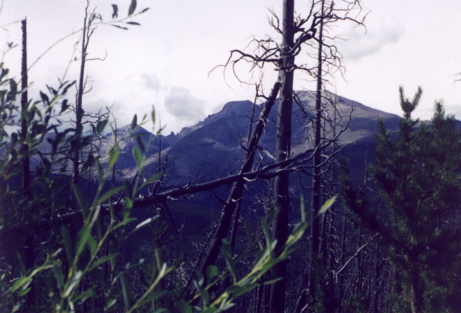
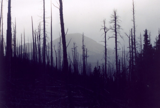
The trail heads up right away on one of the straightest sections of trail in the park. You get some good views of the south side of Long's and Meeker on the trail, and a close up view of the Ouzel Burn area. According to the book the elevation gain is only 1,442' but it seems to be much more. It feels like you're always going up until the very end when the trail drops about 500' to the lake.
The weather couldn't decide what it wanted to do. We started out in sunshine, but by the time we got to the lake it looked like it was going to storm. We only stayed long enough for a few pictures and headed back. By the time we got back to the burn area the sky was clear again.
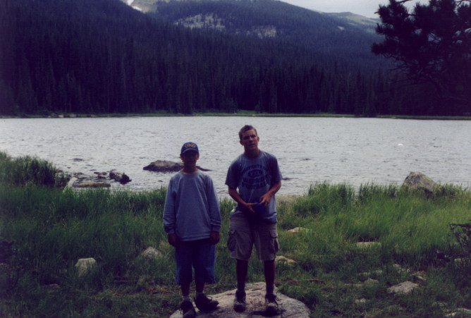
We really hauled on this hike. We made the ten mile round trip in less than four hours.
![]()