Maps
![]()
'Yardley Hastings'
|
|
|
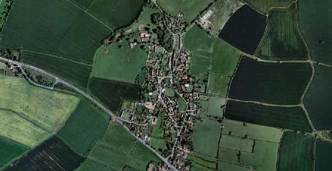
An aerial view of the village An aerial view of the village
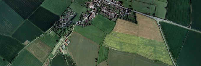
An aerial view of the bottom of the village
S
Click on the links below, and take a 'walk' around the village...
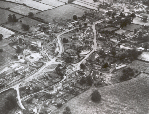
The Village Today The Village Past
If you have any comments or spot any mistakes, please email sheree@yardley-hastings.com
|
|
|