South T-Bar Ranch is located 36 miles NW of Canon City, 88 miles SW of Colorado Springs, and 165 miles SW of Denver. The Ranch is about 6000 acres. There are 112 parcels ranging in size from around 35 acres to 240+ acres. Elevations in the Ranch go from ~8000 feet to ~9400 feet. Vegetation includes juniper, pinon pine, lodgepole pine, blue spruce, and aspen. Wildlife includes badgers, mountain lions, and black bears. The Ranch was part of a larger cattle ranch -- the Ranch land is currently part of a grazing lease so cattle wander around. BLM land extends from the south end of the Ranch to the Arkansas River (many miles).
About our Parcel
Our parcel of land is about 37.87 fairly level acres. If you stand south of our land and look north, the west 1/4 is flat, then a small rise goes up 80 feet or so to meet the remainder which gradually slopes down to the east. Elevation is about 8250 feet to 8360 feet.

See the arrow (just up and left of center)?
That's where South T Bar ranch is located

This picture is taken from the northwest 'tongue' corner. The road on the right swings around to the left and marks our northern property boundaries.

This is the old tree in the northeast corner of our parcel.

This is a view to the south from our parcel.
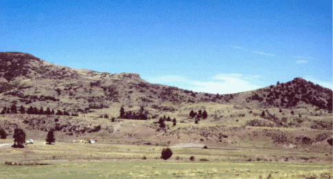
This picture is taken from south of our parcel, looking back at it.

What does Honey see to the west?

Oh, these guys!