TEN years of having a Fat Ass! Catherines Fat Ass celebrated its tenth year of traveling three wee hills on southern Massanutten Mountain with another fun-filled day. Now we are onto year eleven. Check out who is entered for this year so far.
Linda Wack is in charge of volunteers, and those kind souls make the whole event possible. Once again, Tom Corris worked the grillmeister duty and got festivities rolling along as only he can. A major thank you to both of you! Anyone who would like to come out and help, please let Linda Wack know.
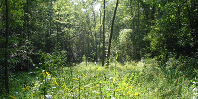
Kirsten Corris and Challon Edwards both took pictures at Catherines 2008. I am also gathering photos from previous Catherines. The Catherines Fat Ass Stuff blog has hundreds of pictures linked so far. Here are pics from 2002 and 2006.
Thanks to Russ Evans and Bill Sublett, we have the kmz file that can be used within Google Earth or other mapping tools to see the Catherines course. I have finally fixed the problem everyone else but me was having in accessing these files. Take a look!
As we head into the mountains it makes sense to keep aware of the others who are in the woods. The locals have been spotted at nearly every CFA. If you see them, be sure to wave and ask if they have a tooth to spare.
Remember the Offical Catherine's Fat Ass Blog. It has some semi-useful information and photos in some way related to Catherine's. You can add the CFABlog to you MyYahoo or RSS feed to get the quickest update. It has no updates for this year yet, so sign up now to ensure you see all of them!
Being a Fat Ass means there is NO entry fee for the runners, but do not signup unless you are ready to have a good time running a slightly warm, hilly, humid summertime 50k! There is, of course, no whining allowed, except during the top third of the Purple Trail and it has to stop prior to the upper aid station.
