Map, Remote Sensing
Geologic map of Ethiopia
ONLINE
Seismicity map of Ethiopia
(magnitude 2.9 - 6.5 Mb; contributed by Atalay Ayele)
NEW - Geological Map of Addis Ababa
to obtain a digital copy of the coverage please contact Dr. Tamiru Alemayehu at Addis Ababa University, Geology Department, tamalem@geol.aau.edu.et
Ethiopian Mapping Authority
Satellite Image of Turkana
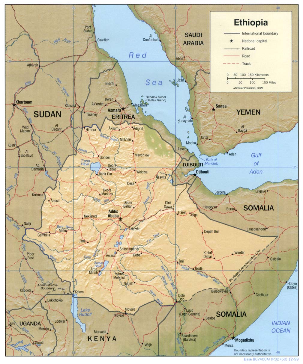
Shaded relief map of Ethiopia
NASA
: Various Satellite Images of Ethiopia
OMNI map resource
EAST VIEW CARTOGRAPHIC
Major producer and distributor of international map data
Maps from ETHIONOR Project
SIR-C / X-SAR radar data
for use in vegetation mapping, regional planning, coastal management and structural geology studies
GeoForschungsZentrum Potsdam:
Remote Sensing - Geology GeoForschungs Zentrum Potsdam (GFZ)
Click to subscribe to Ethiopian-Geophysical
General Geology
|
Projects in Ethiopia
|
Map, Remote Sensing
|
Mineral Resources
|
Cradle of Mankind
|
GEOLOGY OF ETHIOPIA


