
The Climb to Kaiser
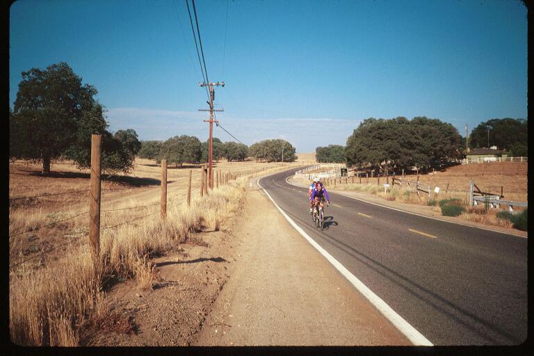

Did you make it to the top of that little rise on Auberry Road? Did you remember to turn on Auberry Road? You're not going down the four lane are you? If so STOP and turn back.
O.K. so you're on course. Auberry Road follows the ridge top, named Pine Ridge if you haven't guessed. It's what I call a "rolling downhill". That is, it goes down, with some very short ups scattered along the way.
Nothing you can't run out.
Eventually you'll notice there aren't any more ups. You've reached the top of the (unofficially named) Auberry Hill. Soon you'll leave the pine trees behind you too. The last part of this one consists of about 6 switch backs. Between each switchback is a long stretch traversing the mountain side, with great views of the valley below. If it isn't hidden by haze.
If the weather is more or less normal, then somewhere between the 3rd and 4th switchbacks, you will encounter a phenomenom known to meteorologists as an "inversion layer" (Ask a weatherman). Up to now the temperature has ranged from about 60º to 80º tops.
Within two turns of your wheels it will be 105º.
Just 30 miles to go. A flat section, more down, and a sweeping curve brings you into the town of Auberry. sometimes the Kaiser Krew sets up a water stop here. But if they haven't, and your bottles need refilling, there are a few eateries you may get some water from.
If you're wondering about the many references to "SJ&E" are all about, it was a short line railroad built by Pacific Power and Light. (now So. Cal. Edison), then owned by Henry E. Huntington (yes, that Henry E. Huntington).
It used to go from Clovis up to Cascada, Now called Big Creek. It started as a construction railroad created for the purpose of building Big Creek, as well as Huntington (get it?) Lake. Auberry was the halfway stop. before it climbed up the canyon.
I felt that might be of slight historic interest...
From Auberry, the road roughly follows the route once taken by that train. in another of those "rolling downhills" through the foothills and the heat until finally, it reaches Millerton Store. #7 (#8, if Big Creek is included), and the last rest stop.
O.K., the reason that there are five rest stops up to Kaiser, and only two on the way back is because during the first half of the ride your average speed is only half (maybe even less than half) of your average speed in the second half.
Going up I average about 8 MPH.
Going down it's more like 18.
So you see, they're really spaced rather evenly. About 1 1/2 hours apart (1 1/2 for me, anyway).
Because of the heat, Millerton Rest Stop not only has soft drinks on ice, They even have moist towels and a kiddie pool filled with ice water so you can cool your brow and put your tired feet on ice too. Aaahhhhhh!!!!!!! :-3)
Only 15 miles remains between Millerton and Clovis. It's still rolling downhill, for a while. But soon you'll make a short climb out of the wash which is all that remains of the canyon you were following, and you'll once again be on the flat valley floor.
At the "T" intersection you make a left on Copper Rd., and then a quick right onto Minnewawa Ave. (Yes, that's it's real name). Minnewawa Ave. becomes Villa Ave. after the RXR crossing.
Look for the water tower which stands over Letterman Park. when you see it, you know you're home free.
 |
Enjoy the Bar-B-Que, get a massage (really!). And all the left over snacks are there for the taking.
Oh, and don't forget your pin, patch, jersey, whatever...
~~~~~~~~Chris Z.~~~~~~~~
"The Tollhouse Cookie Man"
These pages were inspired by Bud Bates, who asked me to tell him what the ride was like...
Special thanks to Tim Morken, who wrote the route slips for this ride, for his help in ensuring these page's accuracy.
 Chris'Z Corner Homepage |
Climb to Kaiser homepage | Climb to Kaiser slideshow |

MacGyverisms ~ Tech-Tips ~ Snapshots ~ The Bicycle Chain ~ Postcards (read) (write) ~ Road Rules
This page hosted by 
Get your own Free Home
Page