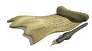
 This 12th maps of the world is called a "T and O" map because of the shape of the image. The world it portrays is a circle,
dicided by a T-shaped cross, the center of which is in Jerusalem. The circle represents perfection - the world of the object
of God's affection. This map represented the Church's truth. It conveyed everything important to know for those who lived
in a world where nature was unfolding according to God's plan.
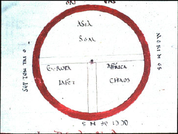
 As maps, these may have represented the veneration of God, but neither was useful as a tool for travel.
Even though this second image is from the 15th century, it retains the same, iconic and relgious qualities. While the later
version of the "T and O"map shows a more naturaliistic view - the continents are represented by representations of real
people. But there is still no sense of perspective in the image.
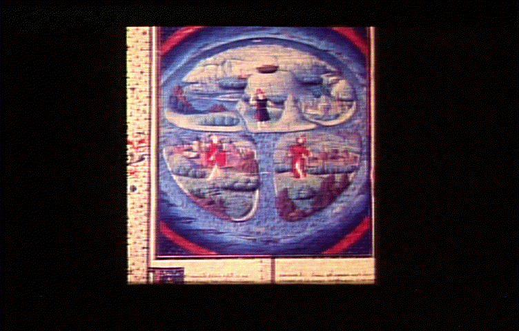
 Along side of the development of manuscript with a focus on the outside, secular world, maps begin to envince similar
concerns. Although this map predates the last the 15th century map, it shows a rising secular concern in its representation
of the world. It also has real river and real, named places, in geographical relations to each other, all exisiting along
side the religious icons.
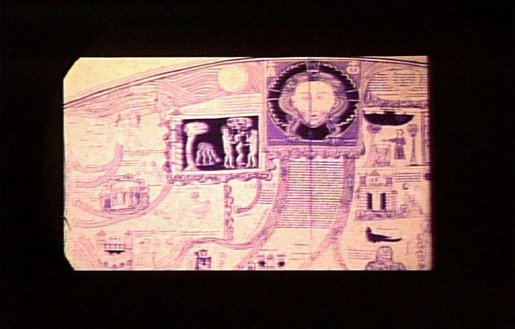
 The information on early manuscript maps that try to represent the world is drawn from travelers' reports of their journeys.
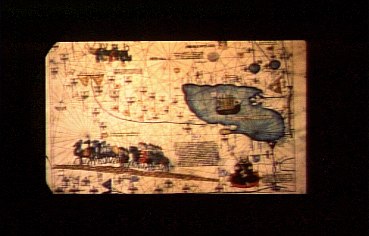
Representations of Europe tend to be accurate but outside Europe, where the world was less well-known, the map gets less
accurate. In the case of this image, from the Catalan Atlas of 1375, Erope is fairly well laid out, while China and the
East, known primarily at the time from the travelers of Marco Polo, is less well defined.
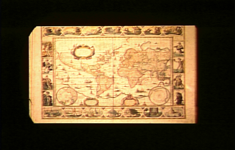
 Here is a later map. The impulse in the kind of map making is toward an accurate representation of the world, an impulse
toward creating information that can be used to navigate in the world.
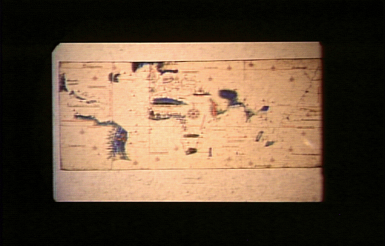 This map contains real geographical information, although not necessarily to geophysical scale. On this map, India,
Cantino World Map created in about 1502, the center of the spice trade, is enlarged in proportion to its economic importance
to the world at the time.
 These maps show another kind of distortion as well. In the early 1500s, the Pope dicided the known world into Spanish
territory and Portuguese territory. Depending on the politics of the map makers, different areas of the world might be
shifted one way or another, placing them in either Spanish or Portuguese territory.
In the early years of the exploration of the New Worlds, all geographic information was collected by Portuguese and Spanish
explorers. Ths information gathered was tightly controlled by their governments because control of accurate geographical
information meant control of important political and economic resources.
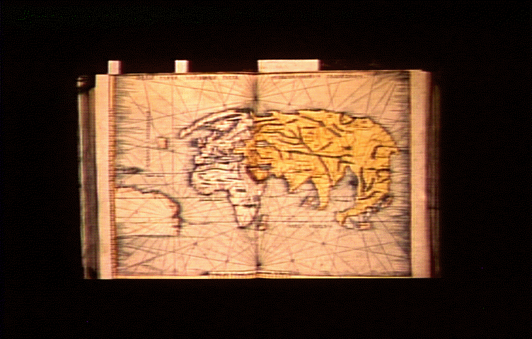
 When the Dutch managed to pull away from Spanish control, they became a center of the reprodution of geographical information.
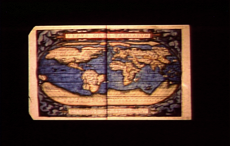
They learned cartography under the Spaniards, and had collected that information in Holland. This is a world map printed in
1570 by Abraham Oretelius, 1527-1598, entitled Theatrum Orbis Terrarum.
 Mordern maps, showing the world in ways that allowed a reader to leave home and return, also allowed for European expansion
into the new world, and the creation of a European-centered world economy.