Sando's property

                                                       Home • Family Tree • Biography • Places • Ships • Military • Links • Search Email
 

Riverland
Lone Gum
History
Soldier settlers
Map
Monash township
World War IIPrimary School
Store
Methodist Church
Memorial Hall
Library

Soldier Settlers
Soldier settlers
Pioneer families
Sando house
Sando's property


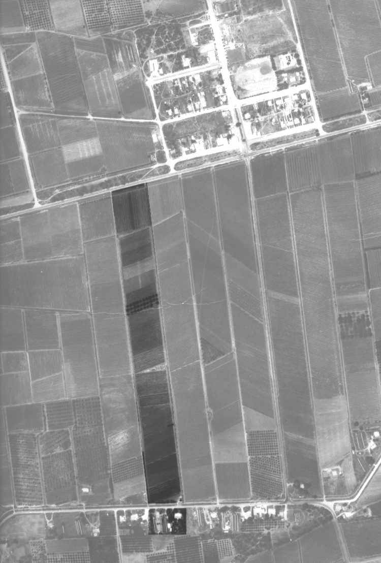
Berri irrigation area, section 437. Chiefly good red loamy and red sandy soil mallee and buhes, slopes spinifex and bushes. 24½ acres, 22 ¾ irrigable. Survey report, 18 Jan 1918.

Set aside for soldiers, gazetted 7 August 1919.

Property purchased by Arnold and Alice Sando,
1 July 1920.


Aerial photo of township showing location of Sando's property, 1973


Arnold Sando dipping grapes in hot caustic solution before they are sun dried on racks.


Maintaining irrigation furrows, date unknown.


Sando's fruit block looking South
c1970's


Distillery road and main irrigation channel, looking east, c1970's.


Cutting apricots January 1974


Distillery road

Pickers quarters

3 Drying racks

2 Sheds

Morgan road


Grape vines


Grape vines


Grape vines


Grape vines


Grape vines

Walnuts


Grape vines


Grape vines


Grape vines


Peach trees


Grape vines


Grape vines


Apricots


Pump house

Irrigation channel


House


Oranges


 Pioneer families • Sando family • Sando's house • Sando's property